Close-ups
Framed and on the wall
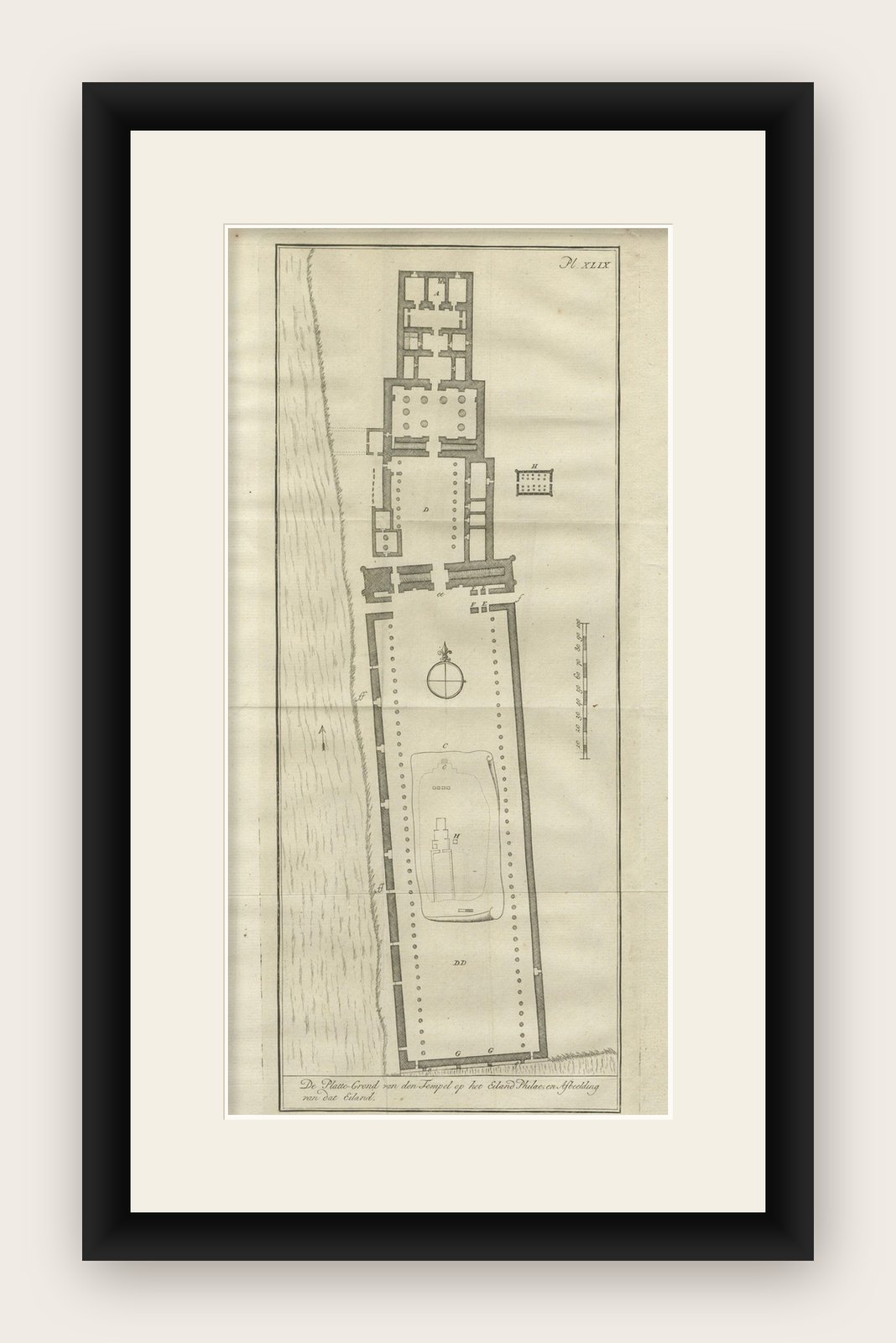

Frame and rooms are illustrations of how the print could look, drawn to its real size; it is sold unframed unless the description says otherwise.
Antiquity & ruins
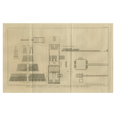
Temple of Philae on the Island of Isis, Ancient Egyptian Plan, c.1710
£160
$215 · €190
Original print, not a reproduction
Ships worldwide from the Netherlands, flat, insured and tracked. 14-day returns. To buy, use Ask a question (info@antiquearchitectureprints.com) and we will reserve it for you.
- Date
- 1710
- Sheet size
- 10.6 × 18.3 in (27 × 46.5 cm)
- Condition
- Good. Good condition overall. Fold lines as issued. Slight marginal toning and soft creasing along the edges; no loss of image.
- Collection
- Antiquity & ruins
- Era
- 1700 to 1789, Baroque to Neoclassical
- Stock no.
- f_46061842
Temple of Philae on the Island of Isis, Ancient Egyptian Plan, c.1710
Description:
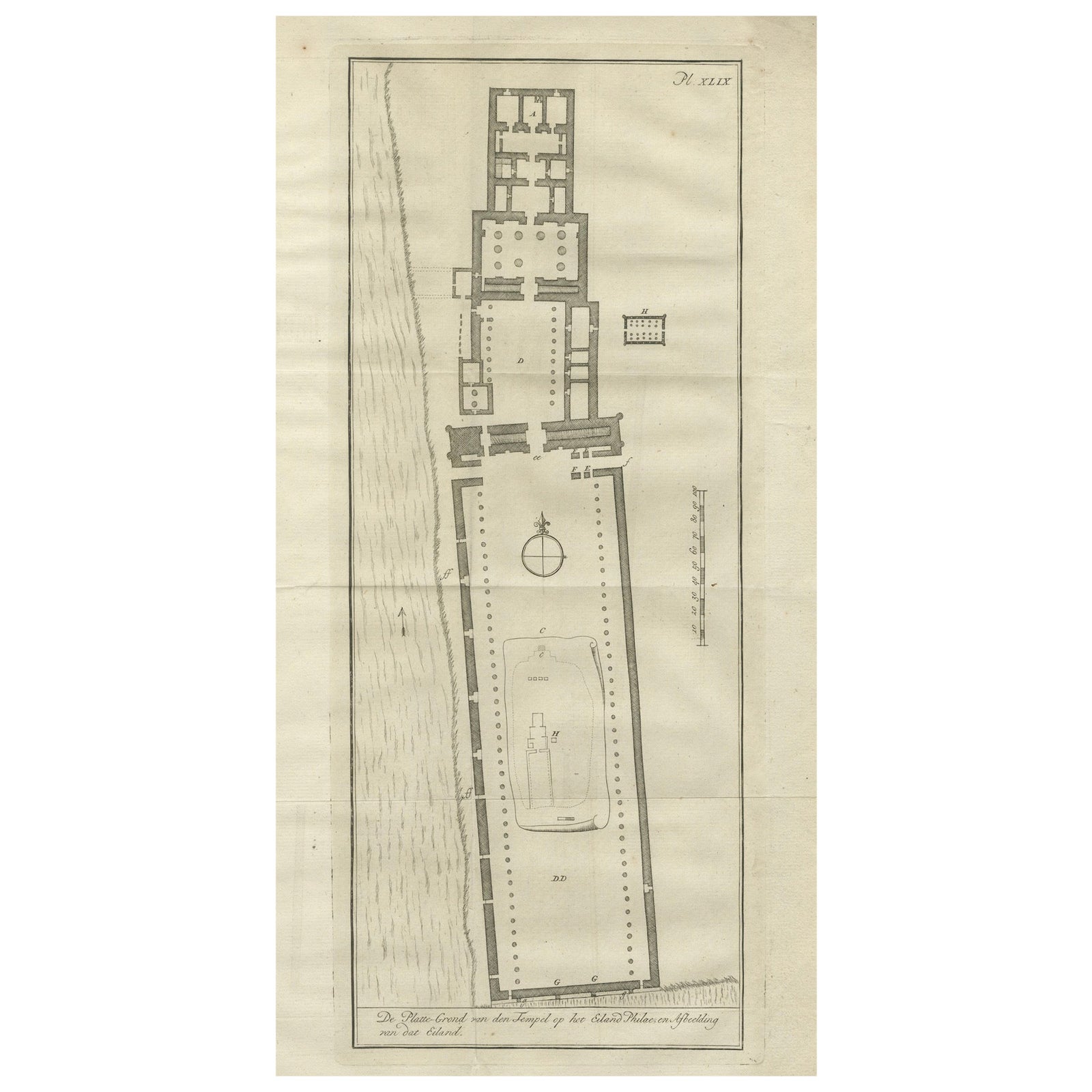
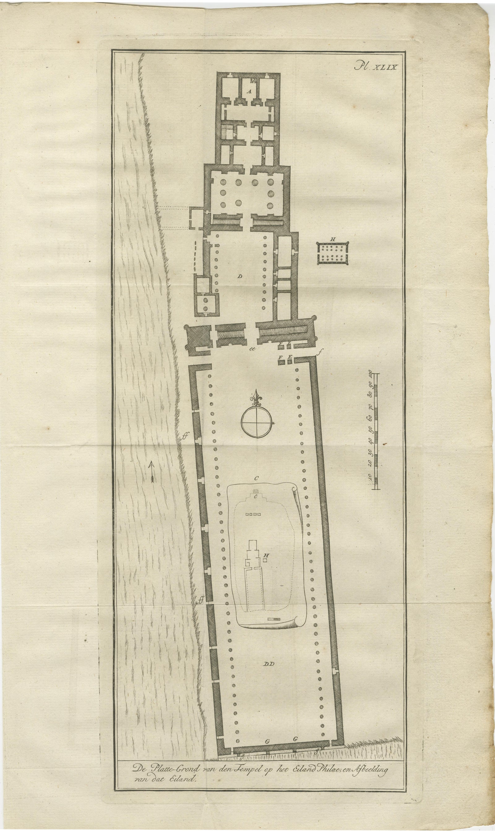
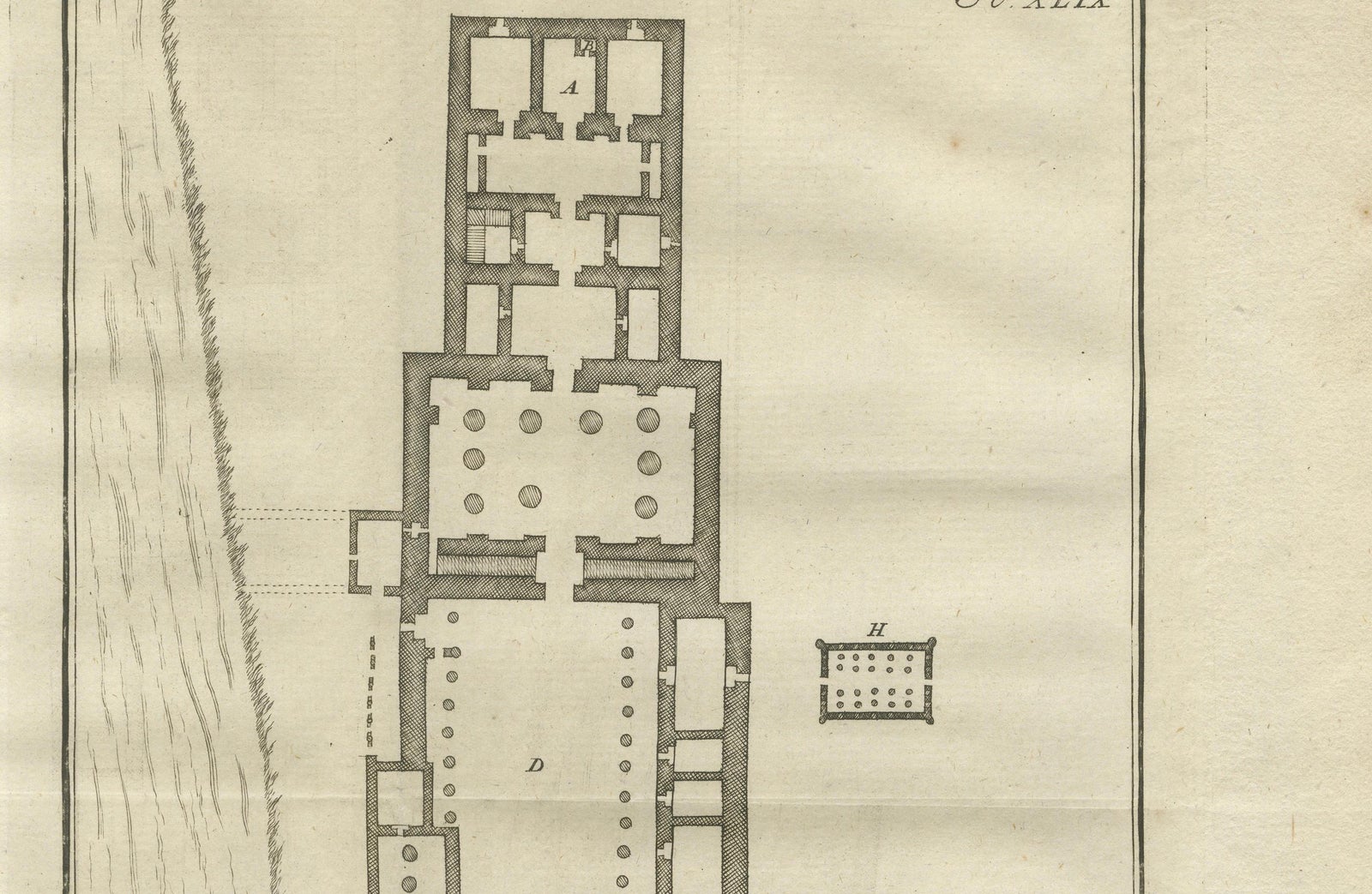
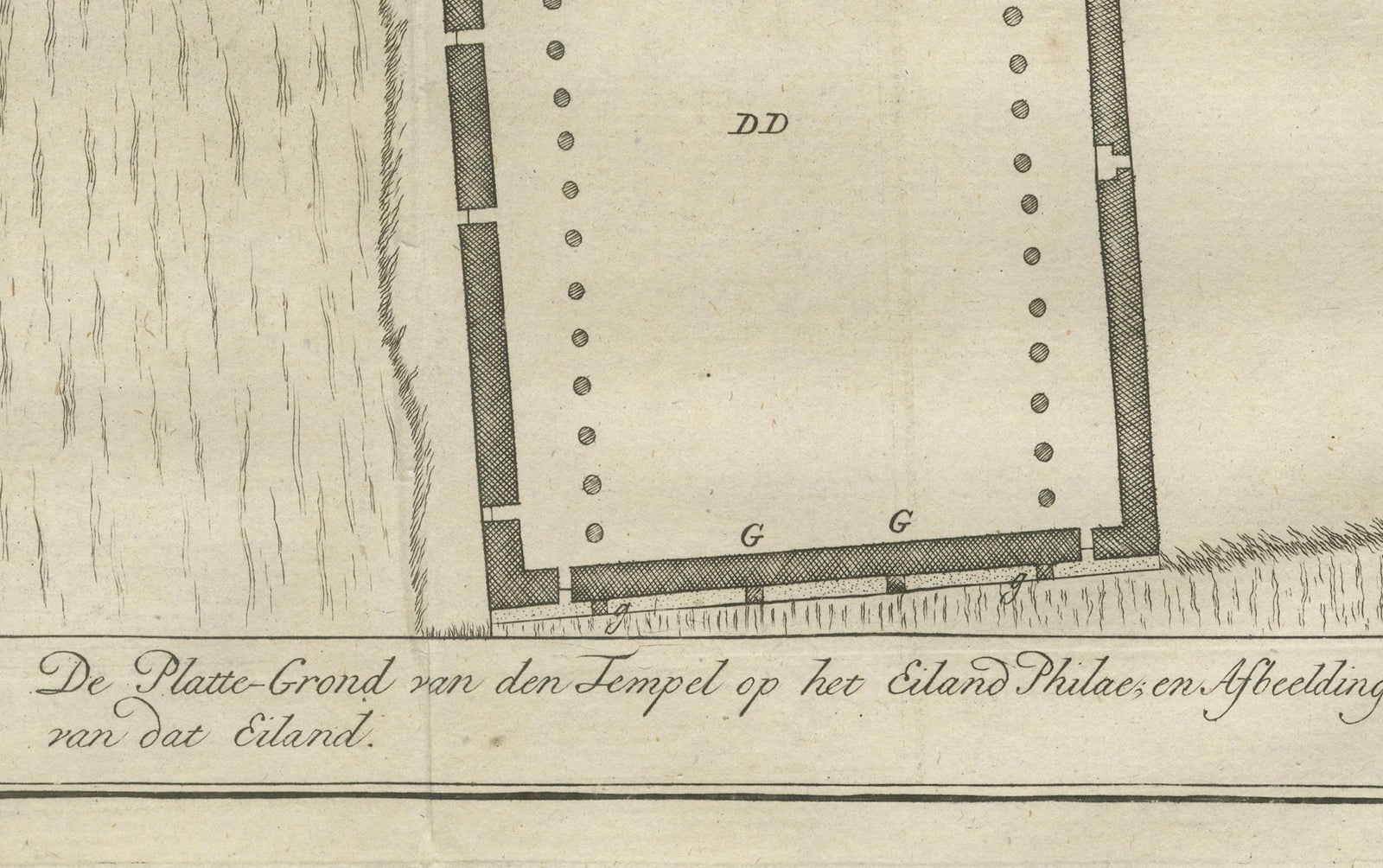
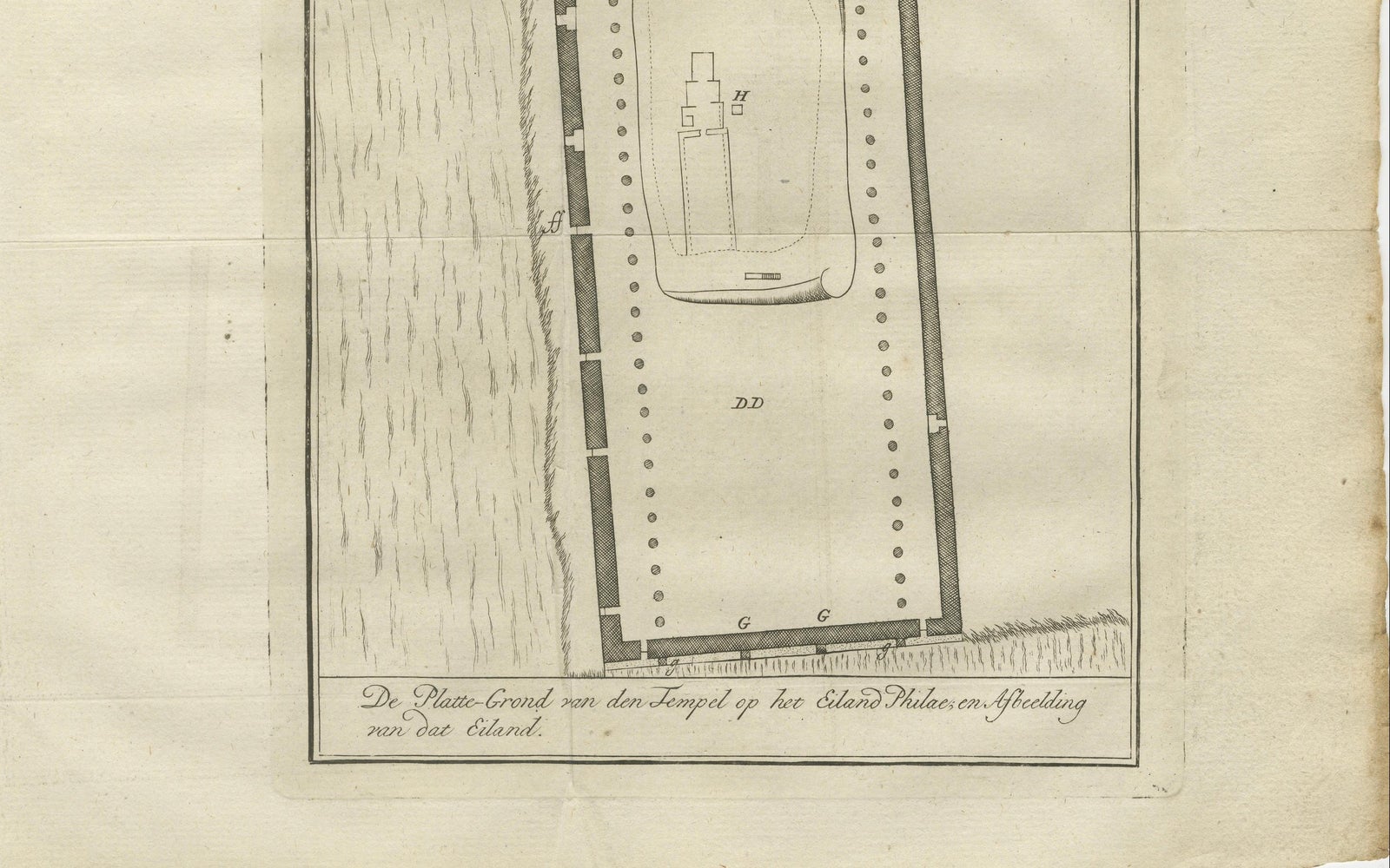
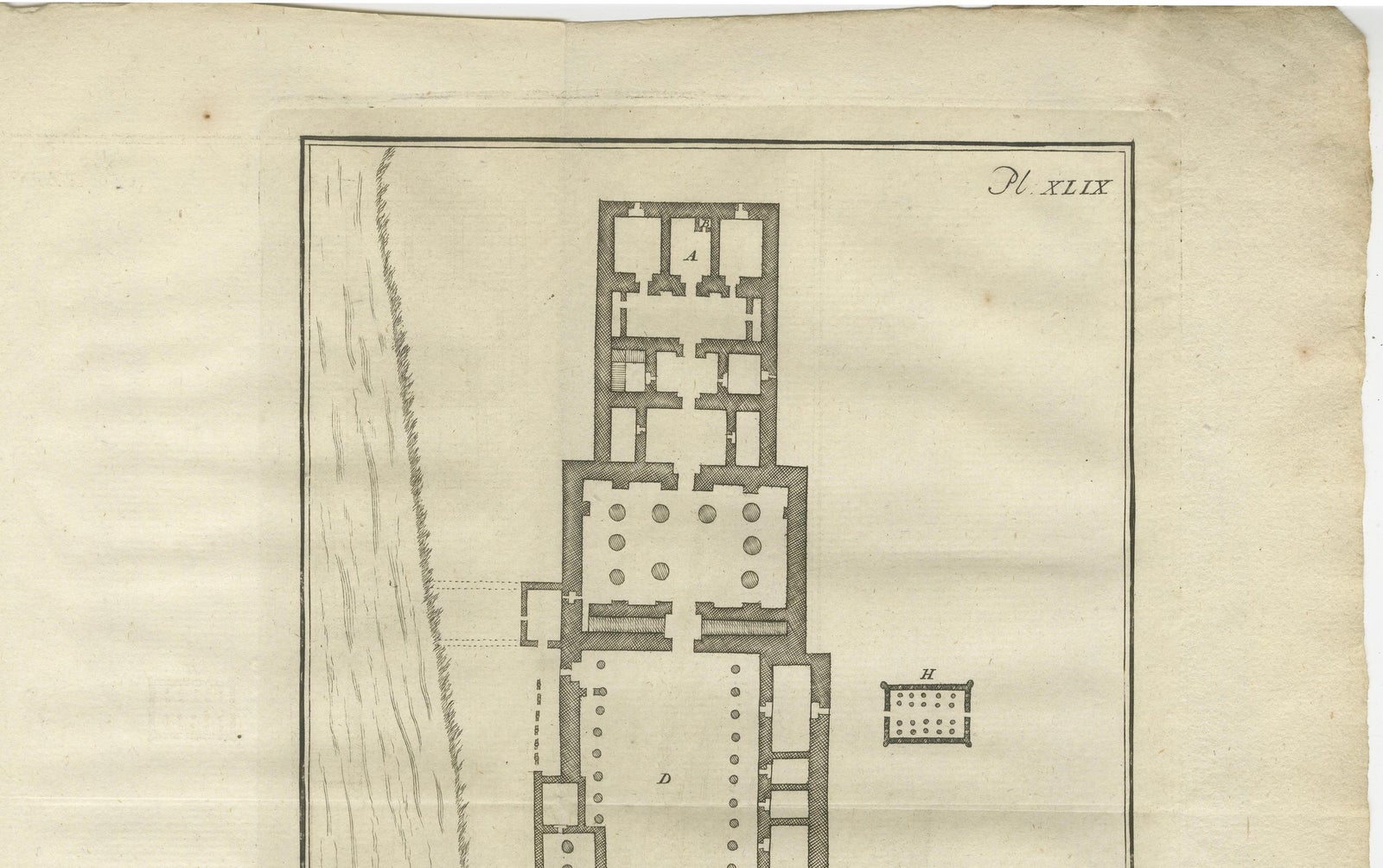
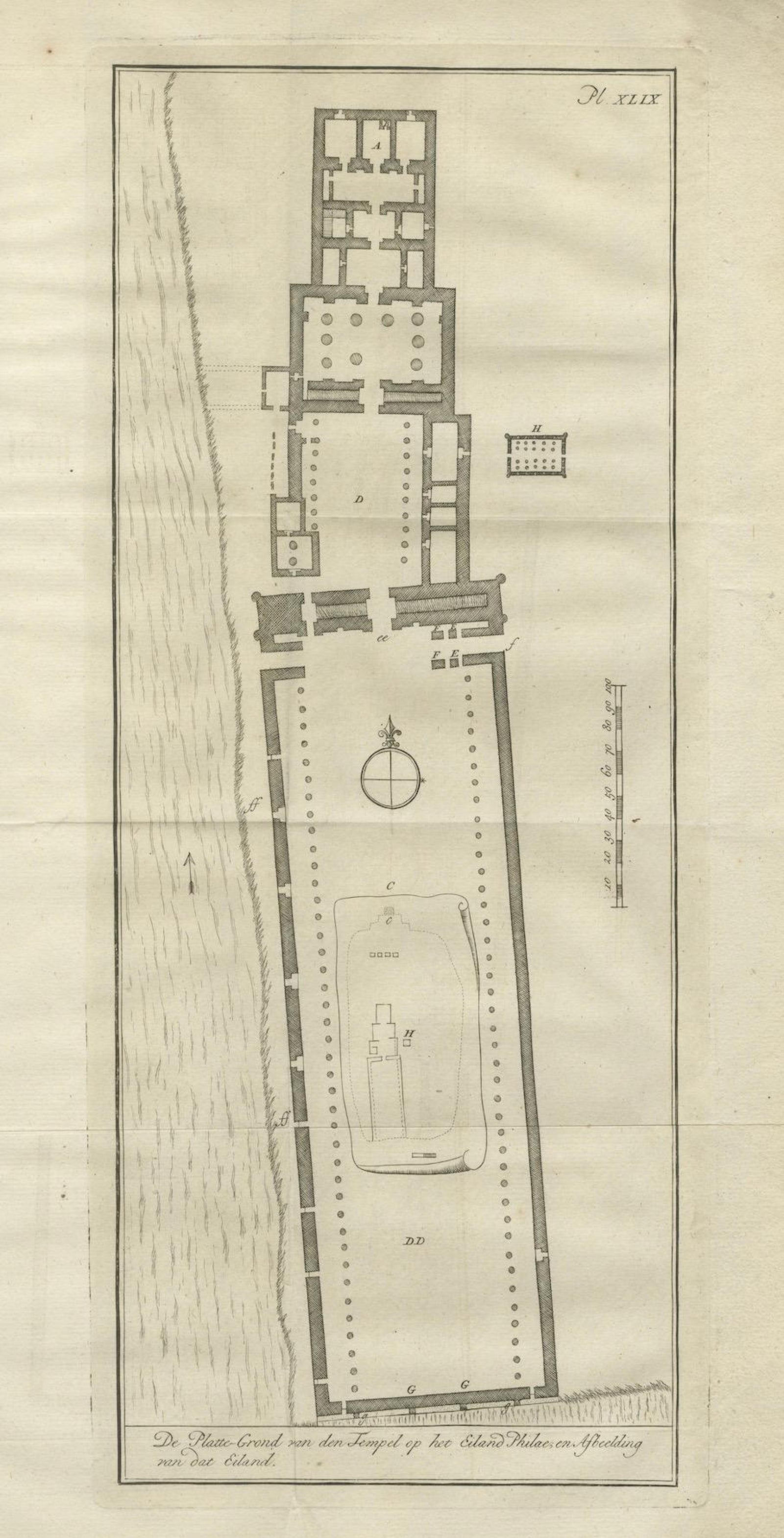
This engraved ground plan shows the architectural layout of the Temple of Isis on Philae, the sacred island in the Nile River near Aswan. Titled in Dutch as *De Platte-Grond van den Tempel op het Eiland Philae en Afscheiding van dat Eiland*, the print presents a detailed view of one of the most venerated temple complexes in Ptolemaic Egypt.
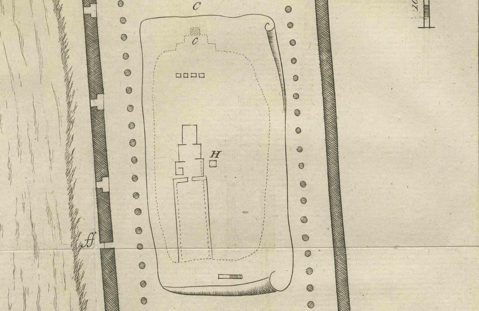
The temple is arranged along a longitudinal axis, beginning with a monumental gateway and progressing through open courtyards, hypostyle halls, and sanctuaries. The map meticulously records column arrangements, wall thicknesses, and the relative scale of structures. In the lower section, a walled enclosure labeled “DD” surrounds a sacred mound (“C”) and inner temple marked “H,” likely referencing the mythological burial place of Osiris.
The engraving is adorned with a compass rose and a bar scale (in feet), helping situate the temple's orientation and dimensions. The engraving plate is numbered "Pl. XLIX" in the top right corner, identifying it as part of a larger series.
This plan likely derives from the 1710 travel publication by Cornelis de Bruijn, whose work introduced European audiences to the monumental ruins of Egypt, long before the Napoleonic expeditions and the advent of scientific Egyptology. His plans, though somewhat idealized, reflect a sincere attempt at precision and artistic fidelity based on direct observation.
Condition:
Good condition overall. Fold lines as issued. Slight marginal toning and soft creasing along the edges; no loss of image.
Framing tips:
Display in a black or dark oak frame with a light cream or sand-colored mat. Ideal for libraries, studies, or interior settings that highlight travel, architecture, or classical antiquity.
Technique: Copperplate engraving
Maker: After Cornelis de Bruijn, The Netherlands, circa 1710
Explore