Framed and on the wall
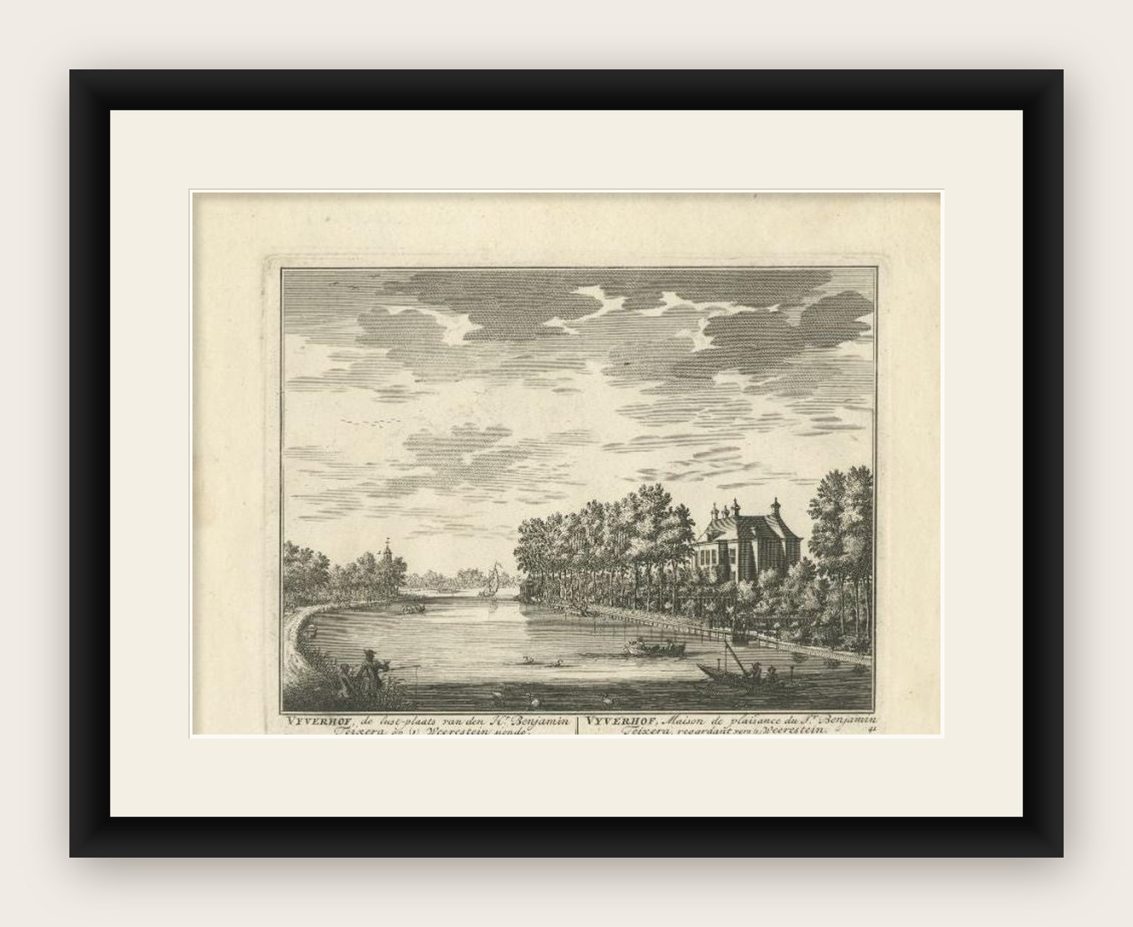
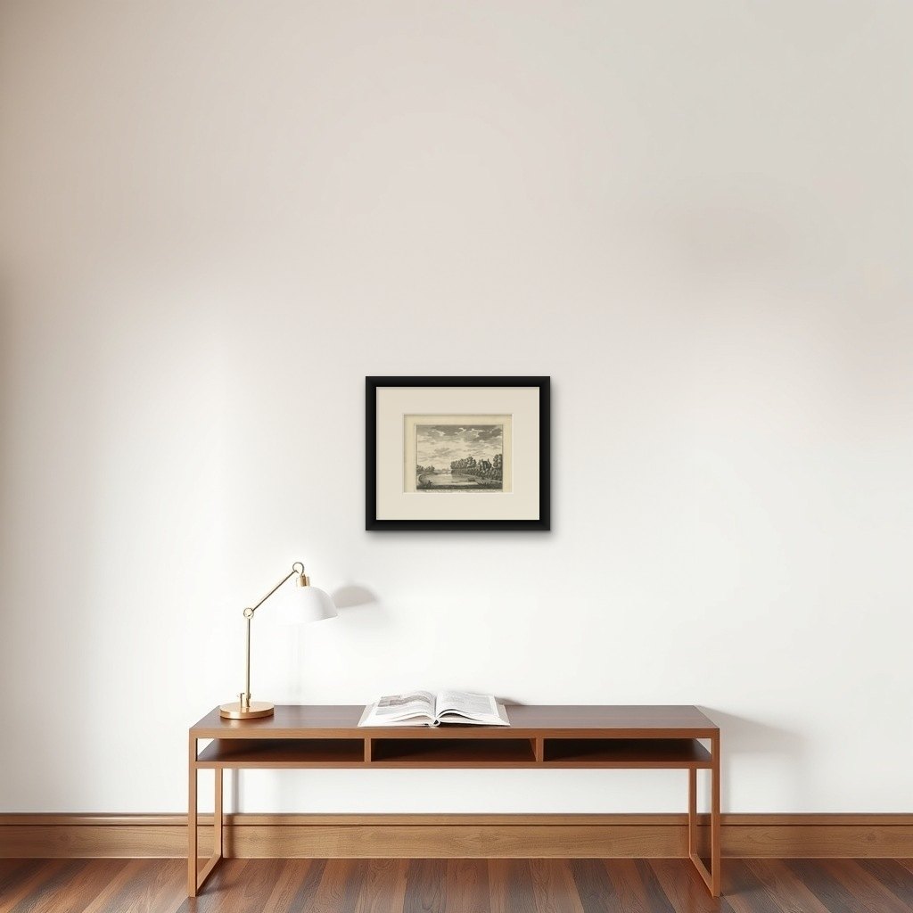
Frame and rooms are illustrations of how the print could look, drawn to its real size; it is sold unframed unless the description says otherwise.
Castles & palaces
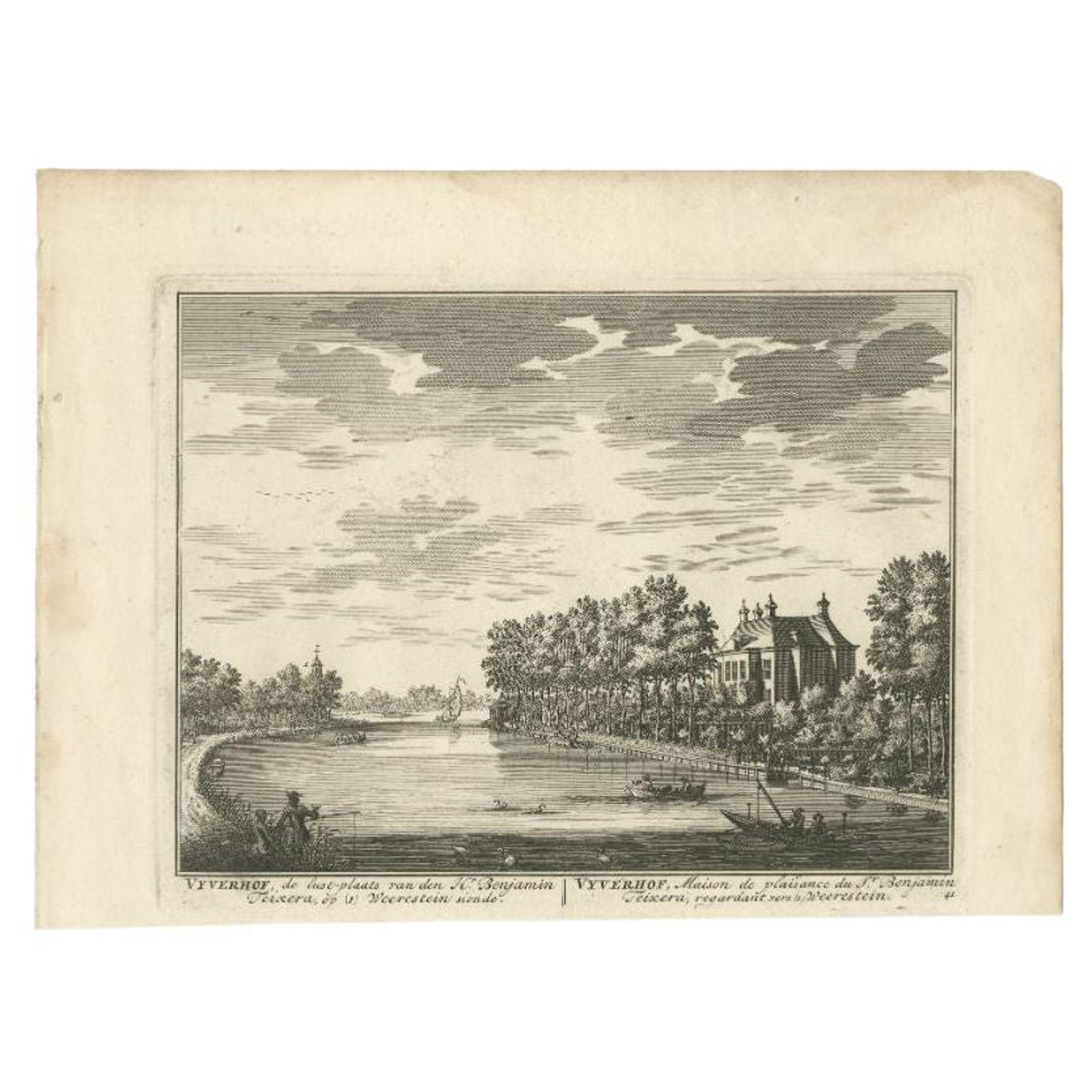
Antique Print of Estate Vijverhof by Stoopendaal, 1719
$315
€280 · £235
Original print, not a reproduction
Ships worldwide from the Netherlands, flat, insured and tracked. 14-day returns. To buy, use Ask a question (info@antiquearchitectureprints.com) and we will reserve it for you.
- Date
- 1719
- Sheet size
- 7.5 × 10.2 in (19 × 26 cm)
- Condition
- Good. General age-related toning. Shows some wear and creasing. Blank verso. Please study image carefully.
- Collection
- Castles & palaces
- Era
- 1700 to 1789, Baroque to Neoclassical
- Stock no.
- f_29584442
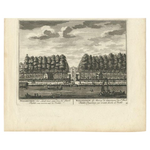
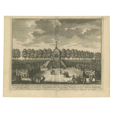
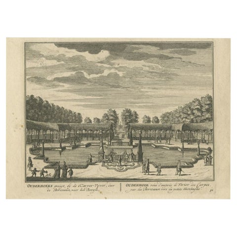
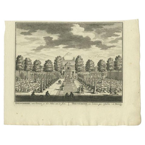
Antique print titled 'Vyverhof, de lust-plaats van den Hr. Benjamin Teixera (..)'. This print shows Vijverhof, the estate of Mr. Benjami Teixera. The estate is situated near the Vecht river and the village of Nieuwersluis. Originates from 'De Zegepraalende Vecht, vertoonende verscheidene Gesichten van Lustplaatsen, Heeren Huysen en dorpen, beginnen van Uitrecht en met Muyden besluytende' published in Amsterdam by Andries de Leth / Wed. Nicolaas Visscher, 1719.
Artists and Engravers: Daniel Stoopendaal (Dutch) was active in Amsterdam from 1685 to 1713. Both Daniel and Bastiaan Stoopendaal made maps for the so-called Keur Bibles (published from 1666-1756). Most probably both were not related. Bastiaan worked mostly in the circle of Nicolaes Visscher. Daniel engraved topographical prints and maps.
Condition: Good, general age-related toning. Shows some wear and creasing. Blank verso. Please study image carefully.
Date: 1719
Overall size: 26 x 19 cm.
Image size: 19.5 x 15 cm.
We sell original antique maps to collectors, historians, educators and interior decorators all over the world. Our collection includes a wide range of authentic antique maps from the 16th to the 20th centuries. Buying and collecting antique maps is a tradition that goes back hundreds of years. Antique maps have proved a richly rewarding investment over the past decade, thanks to a growing appreciation of their unique historical appeal. Today the decorative qualities of antique maps are widely recognized by interior designers who appreciate their beauty and design flexibility. Depending on the individual map, presentation, and context, a rare or antique map can be modern, traditional, abstract, figurative, serious or whimsical. We offer a wide range of authentic antique maps for any budget.