Close-ups
Framed and on the wall
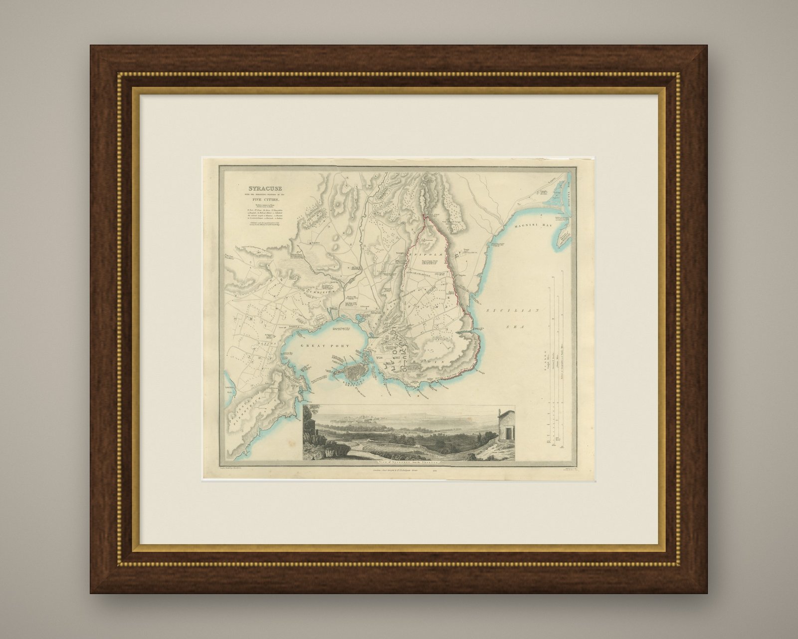
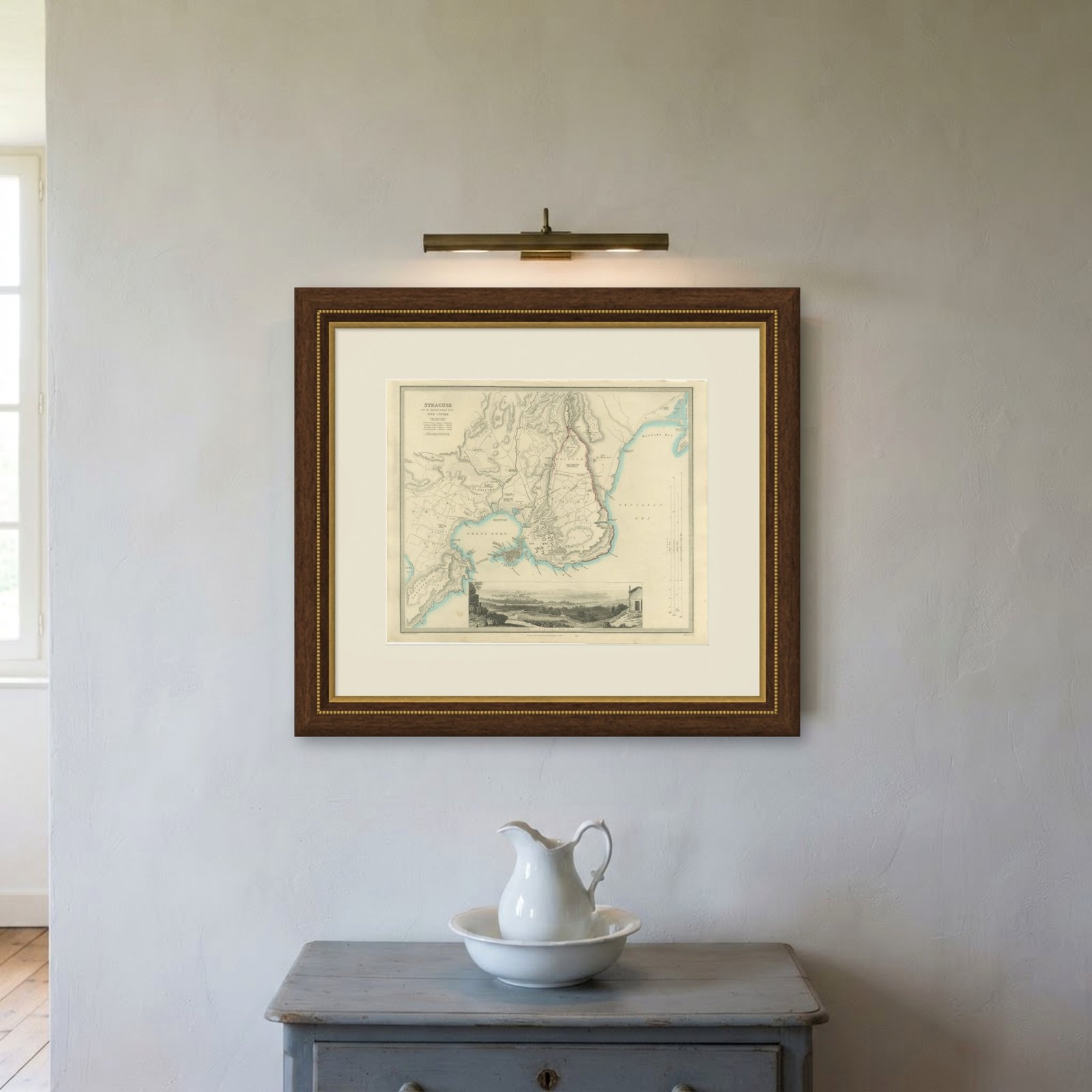
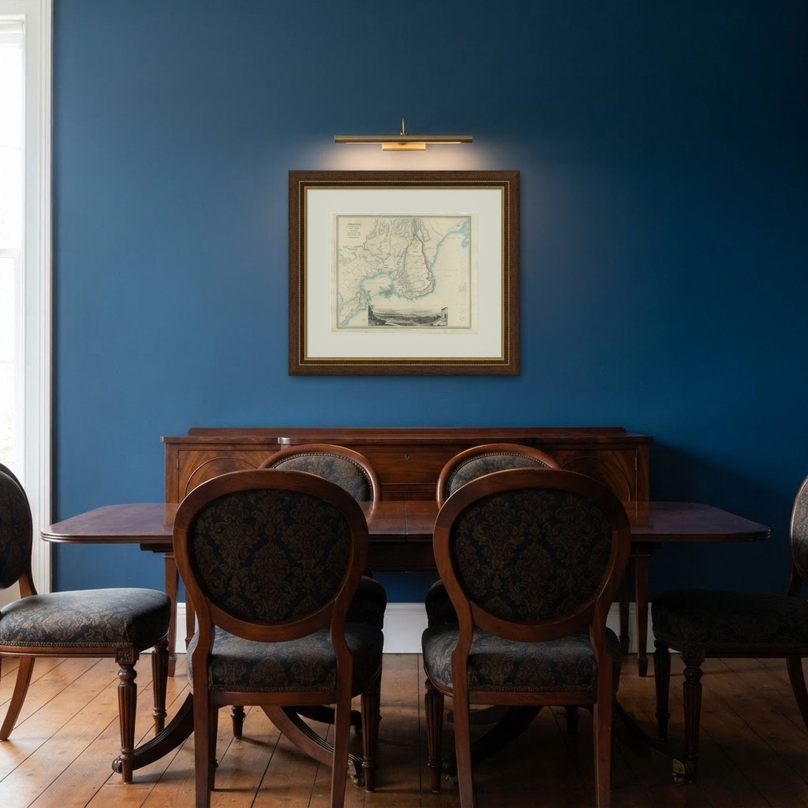
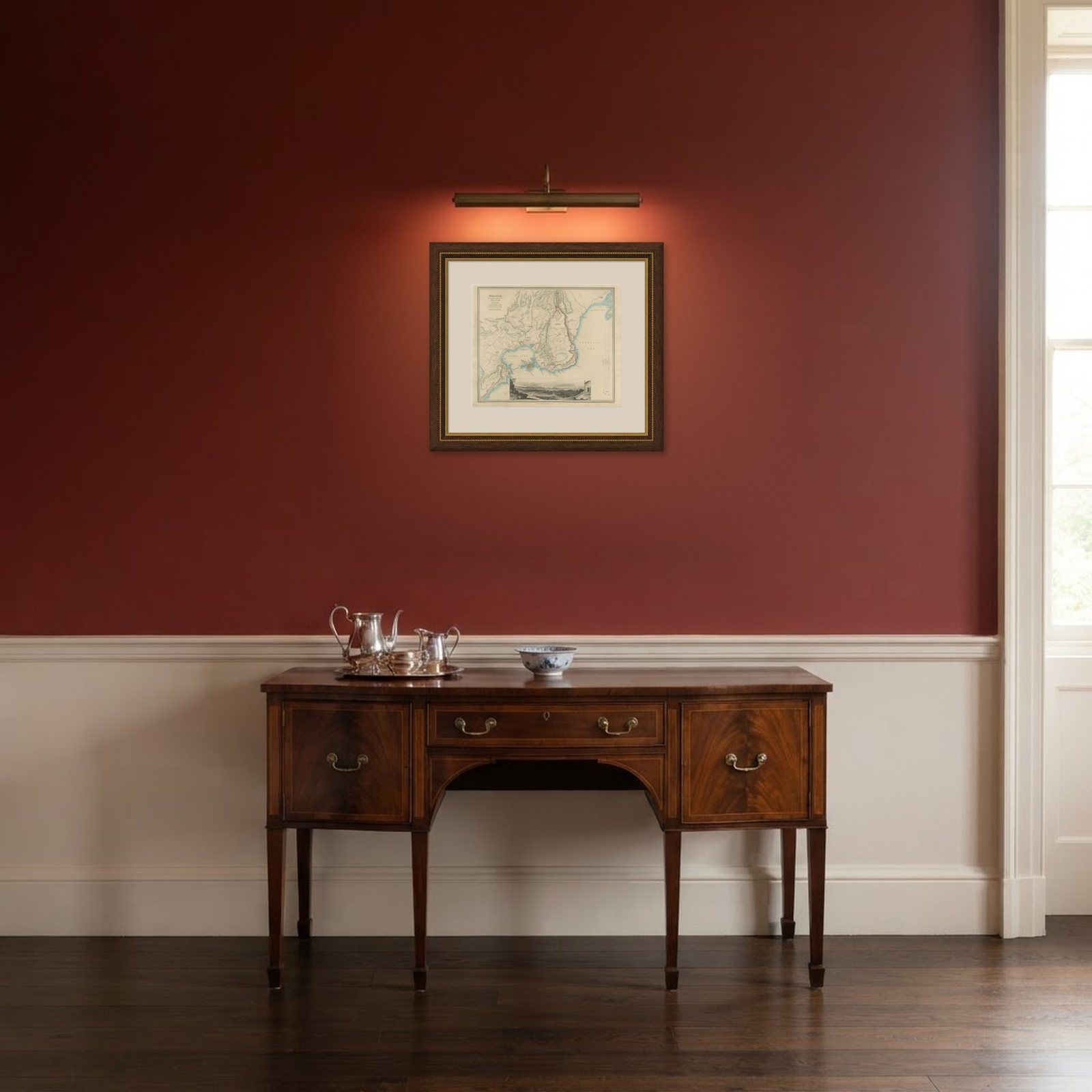
Frame and rooms are illustrations of how the print could look, drawn to its real size; it is sold unframed unless the description says otherwise.
Antiquity & ruins
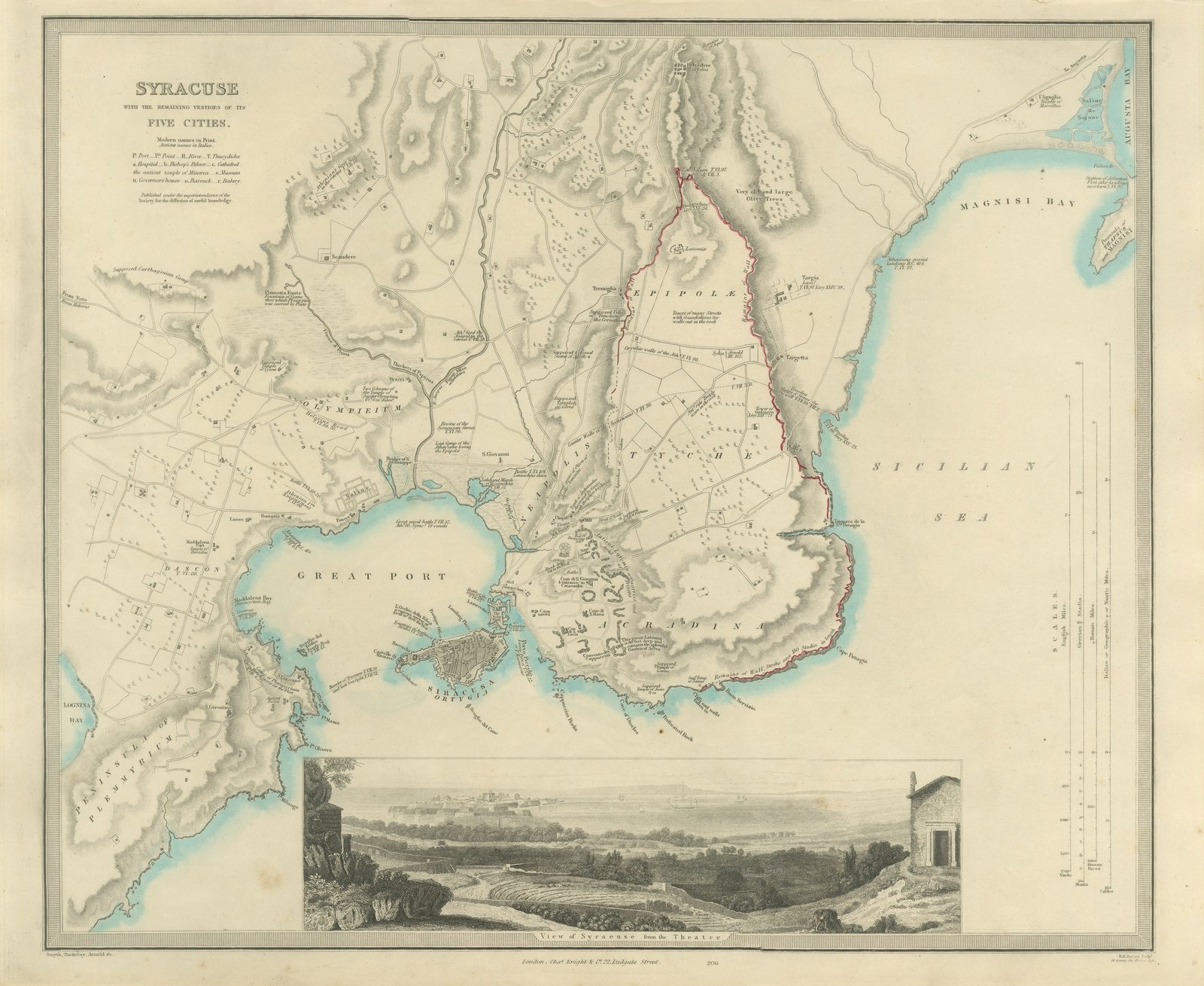
Antique Plan of Syracuse and its Five Ancient Cities, Sicily, 1847
£745£52030% off
$685 · €623
Original print, not a reproduction
Ships worldwide from the Netherlands, flat or rolled, insured and tracked. 14-day returns.
- Date
- 1847
- Sheet size
- 13.8 × 16.9 in (35 × 43 cm)
- Technique
- Steel Engraving
- Coloring
- Original hand color
- Condition
- Good. Light uneven toning, browner toward the edges. Handling soiling along the bottom and right edges. Scattered light foxing in the margin. All four corners complete.
- Collection
- Antiquity & ruins
- Era
- 1790 to 1849, Neoclassical and Romantic
- Stock no.
- BG-14487-1-42
What the condition grades mean
- Excellent
- Bright and clean, with no faults worth mentioning.
- Very good
- Only light signs of age, such as faint toning.
- Good
- Normal signs of age for a sheet of this period: toning, some foxing, small marks or neat old repairs.
- Fair
- Clear faults such as staining, tears or repairs, priced to match.
Every fault we see is written in the condition note, and the whole sheet is shown uncropped in the photos.
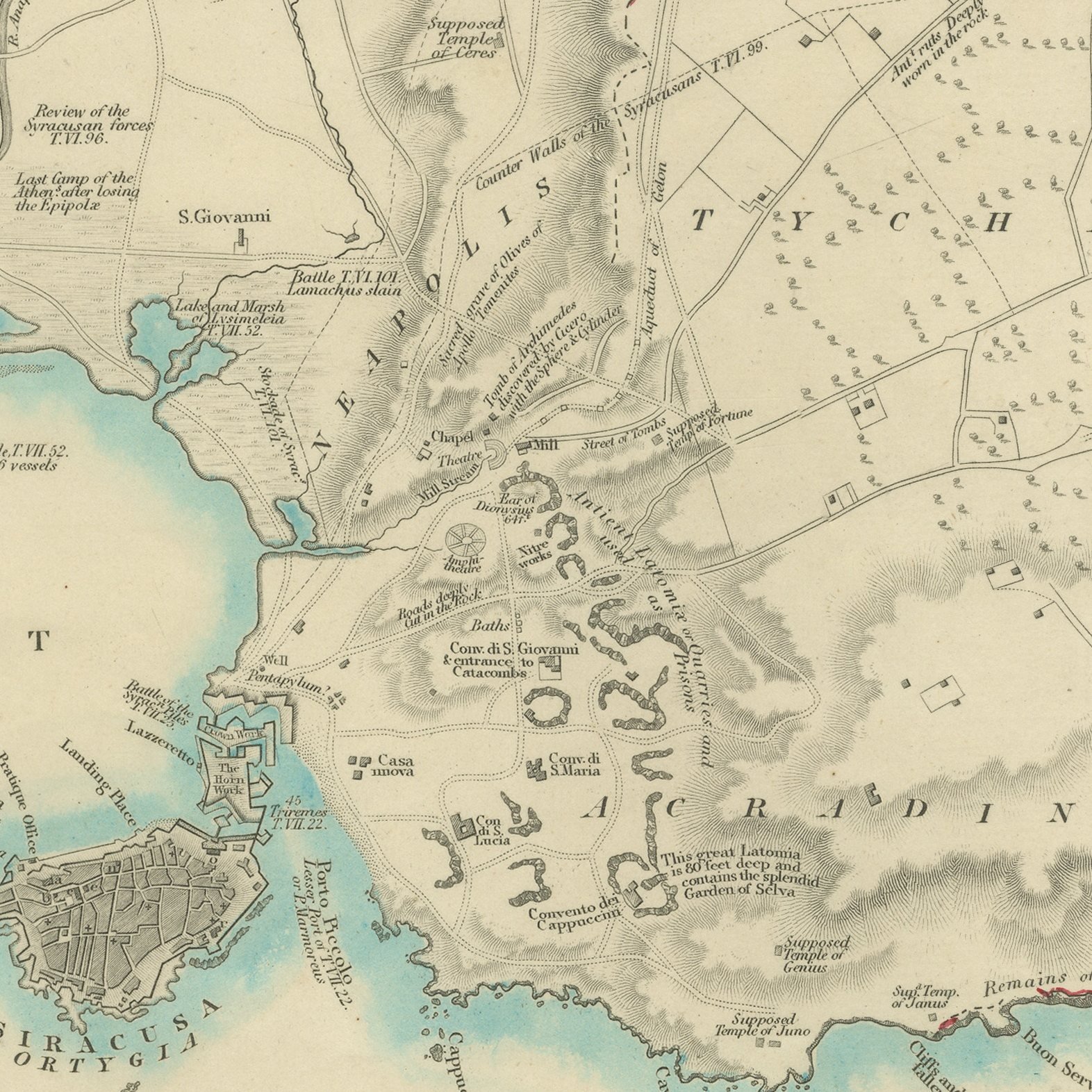
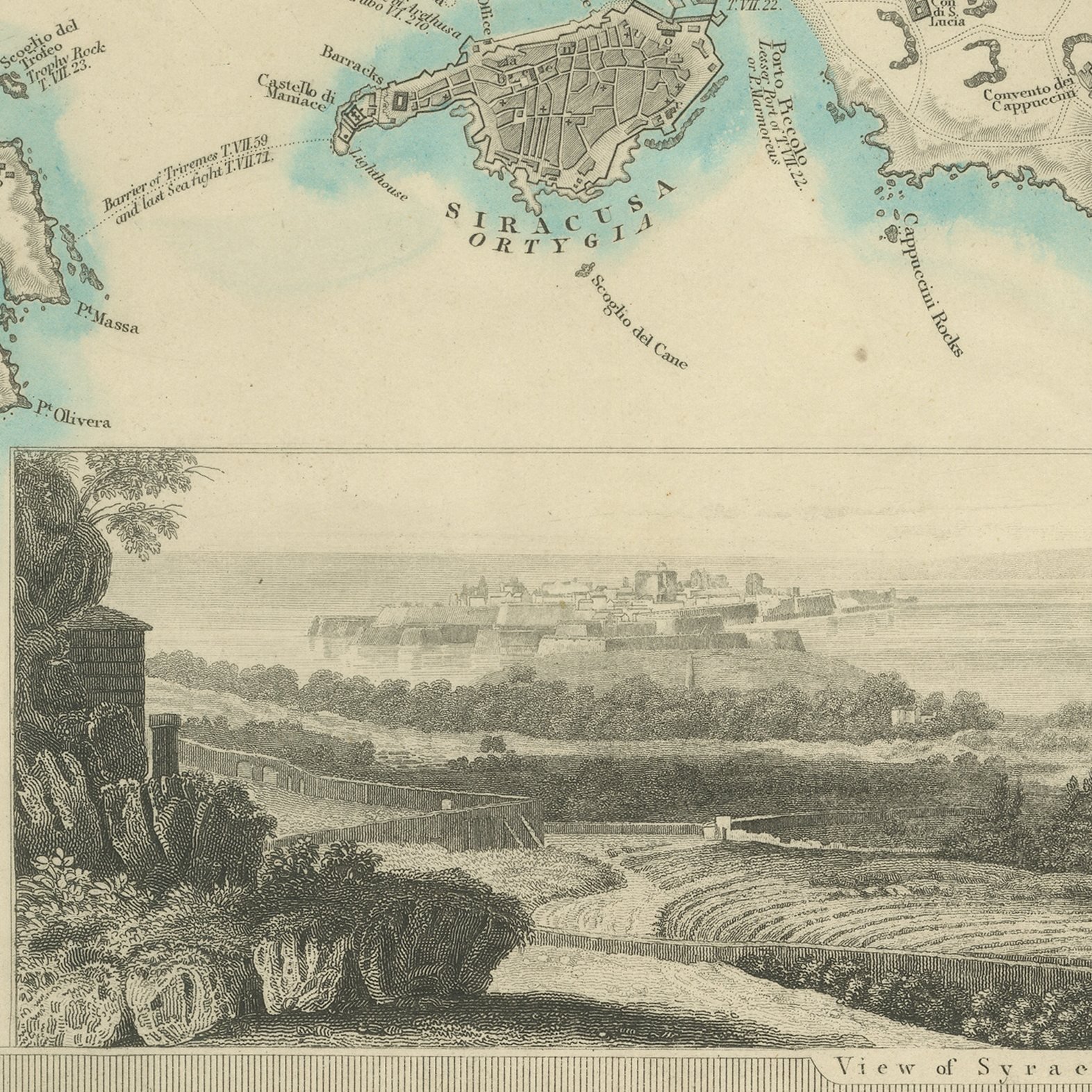
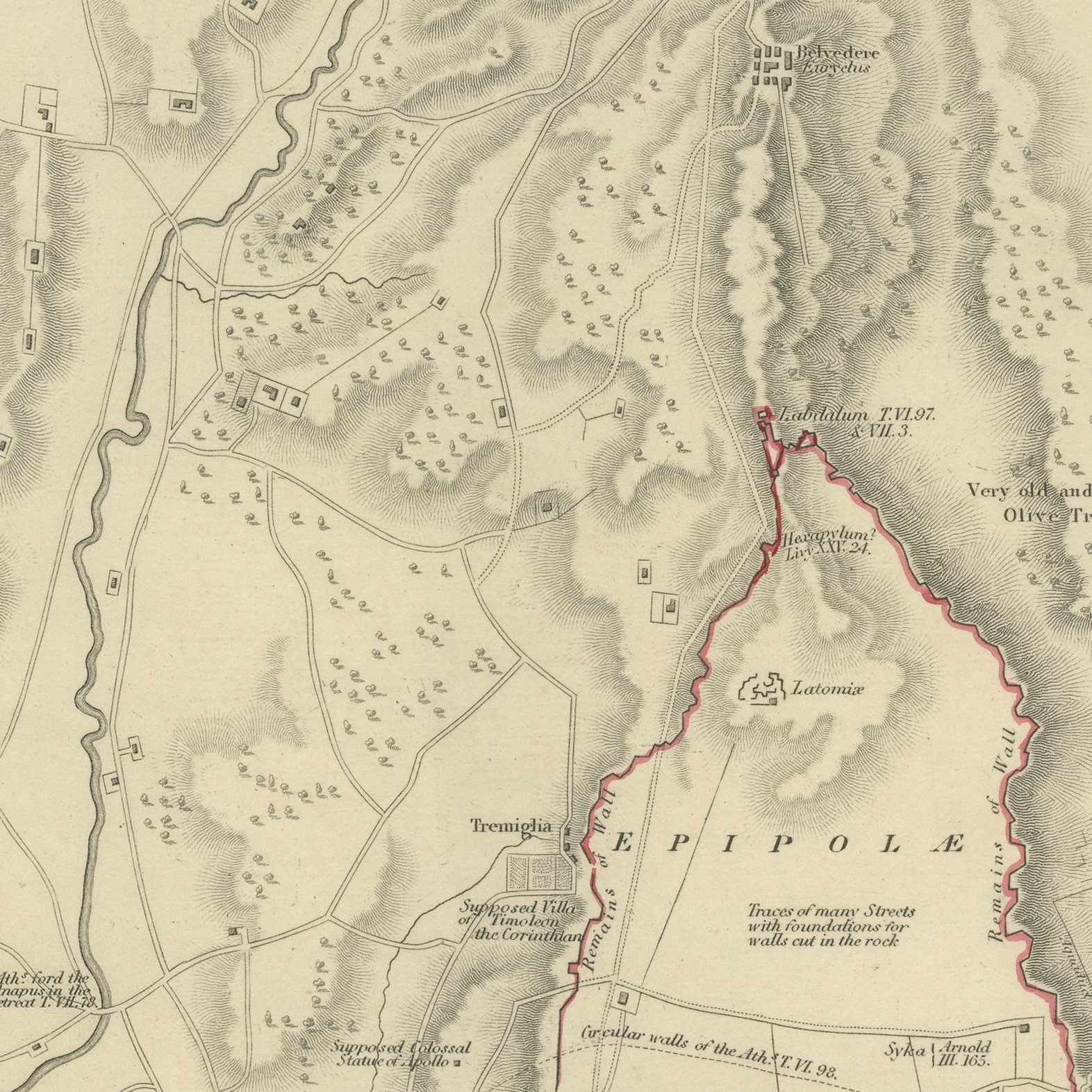
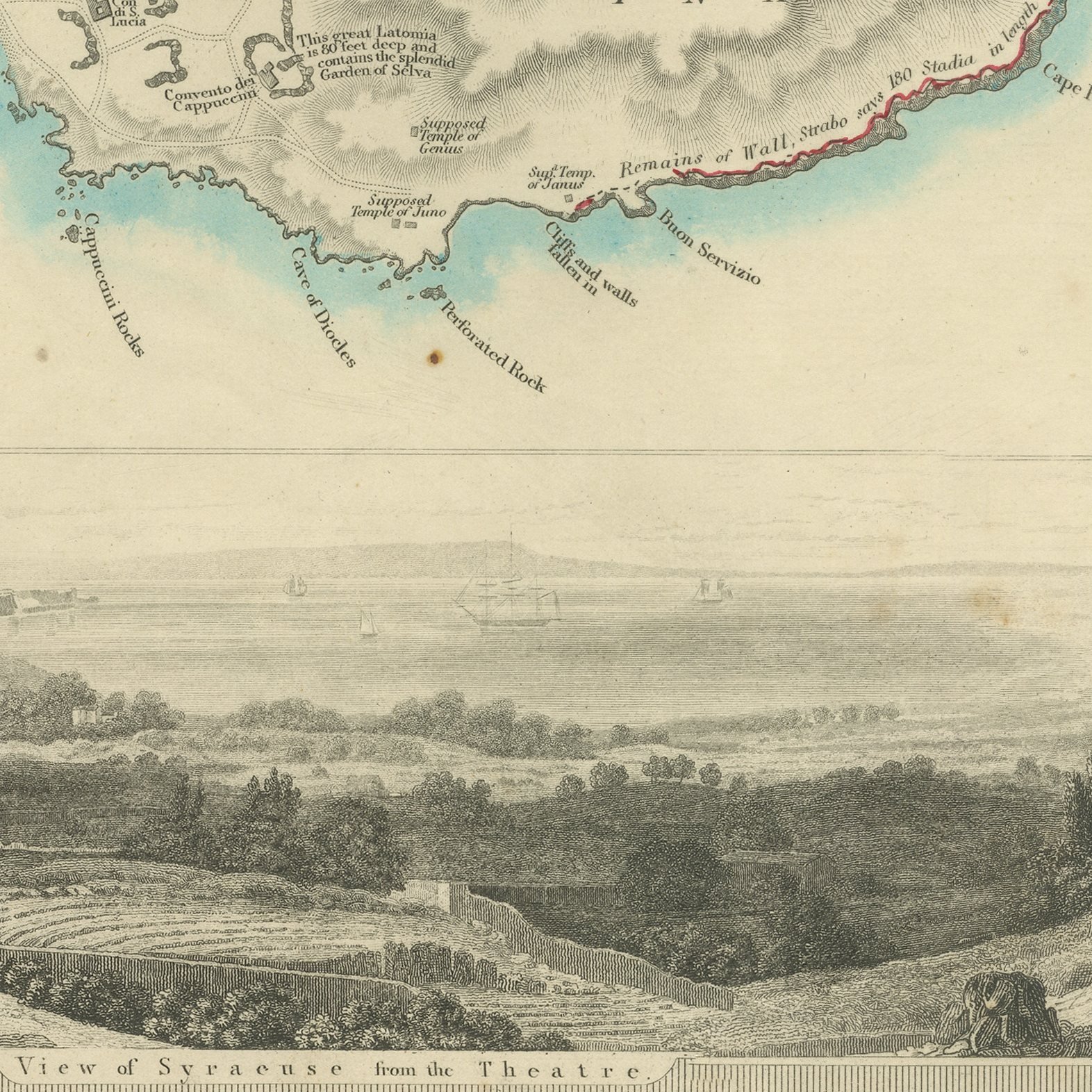
This is an original antique city plan of Syracuse, steel engraved and published in the atlas of the Society for the Diffusion of Useful Knowledge. The plan covers the whole of ancient Syracuse, naming Ortygia, Acradina, Tyche, Neapolis and Epipolae, with the Great Port, the quarries, the walls of Dionysius running out to Euryalus and the ancient and modern names distinguished by typeface. Citations from Thucydides and Livy are printed beside the features they describe, and a view of Syracuse from the theater sits at the foot. The sheet credits Smyth, Thackeray and Arnold. The outline and water coloring is original hand color, applied by the publisher before the sheet was bound into the volume.
The sheet is plate number 206 in the third volume of the Society's atlas, Plans of Cities, Stars and Index to Places, published in London by Charles Knight at 22 Ludgate Street in 1847. The Society issued its maps in parts from 1829 onward, and this collected edition was lettered as a new edition corrected to the present time, which is why individual plates still carry their own earlier dates. The plate is lettered as engraved by B. R. Davies.
Reading the Athenian siege of 415 before Christ off a printed map is exactly what this sheet was made for, and the classical citations turn it into an argument rather than a picture. It is one of the few plans in the series devoted to an archaeological landscape rather than a living city. Framed simply in dark wood or a plain gilt frame it suits a study, a hallway or a dining room, and it is a natural gift for anyone with a tie to the place.
Light uneven toning, browner toward the edges. Handling soiling along the bottom and right edges. Scattered light foxing in the margin. All four corners complete.
This is an original antique map, not a modern reproduction. This item is sold unframed.
Explore