Close-ups
Framed and on the wall
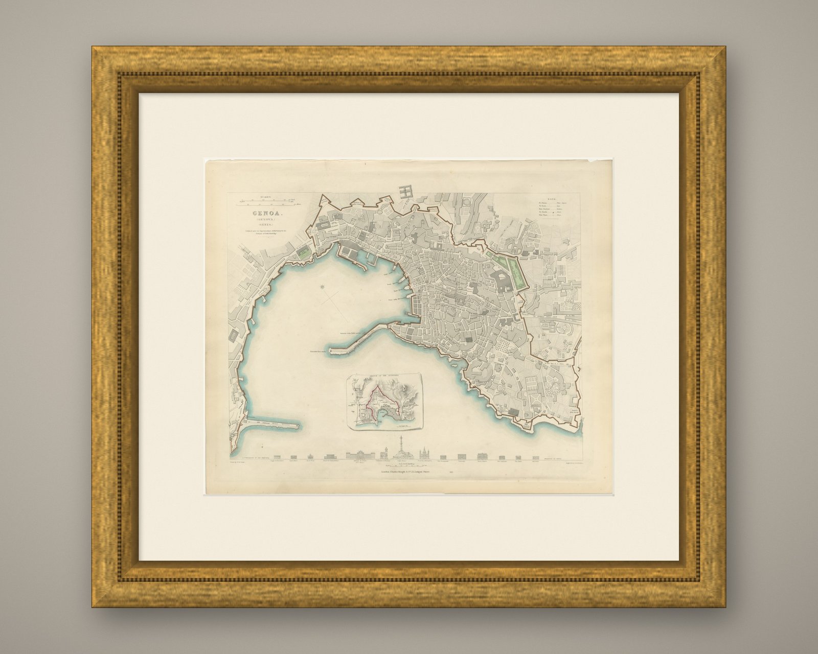
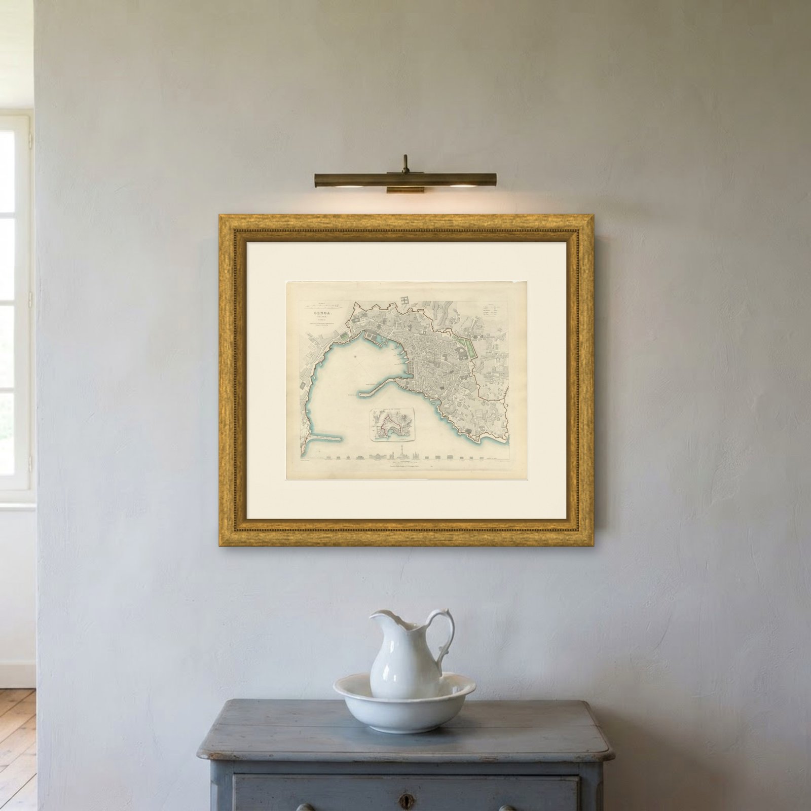
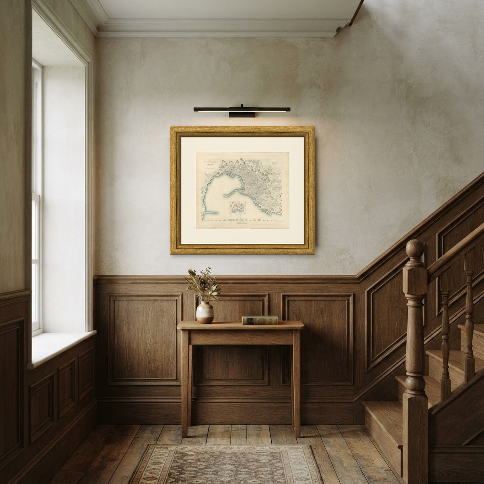
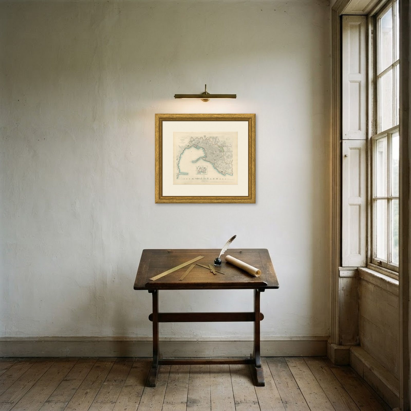
Frame and rooms are illustrations of how the print could look, drawn to its real size; it is sold unframed unless the description says otherwise.
Castles & palaces
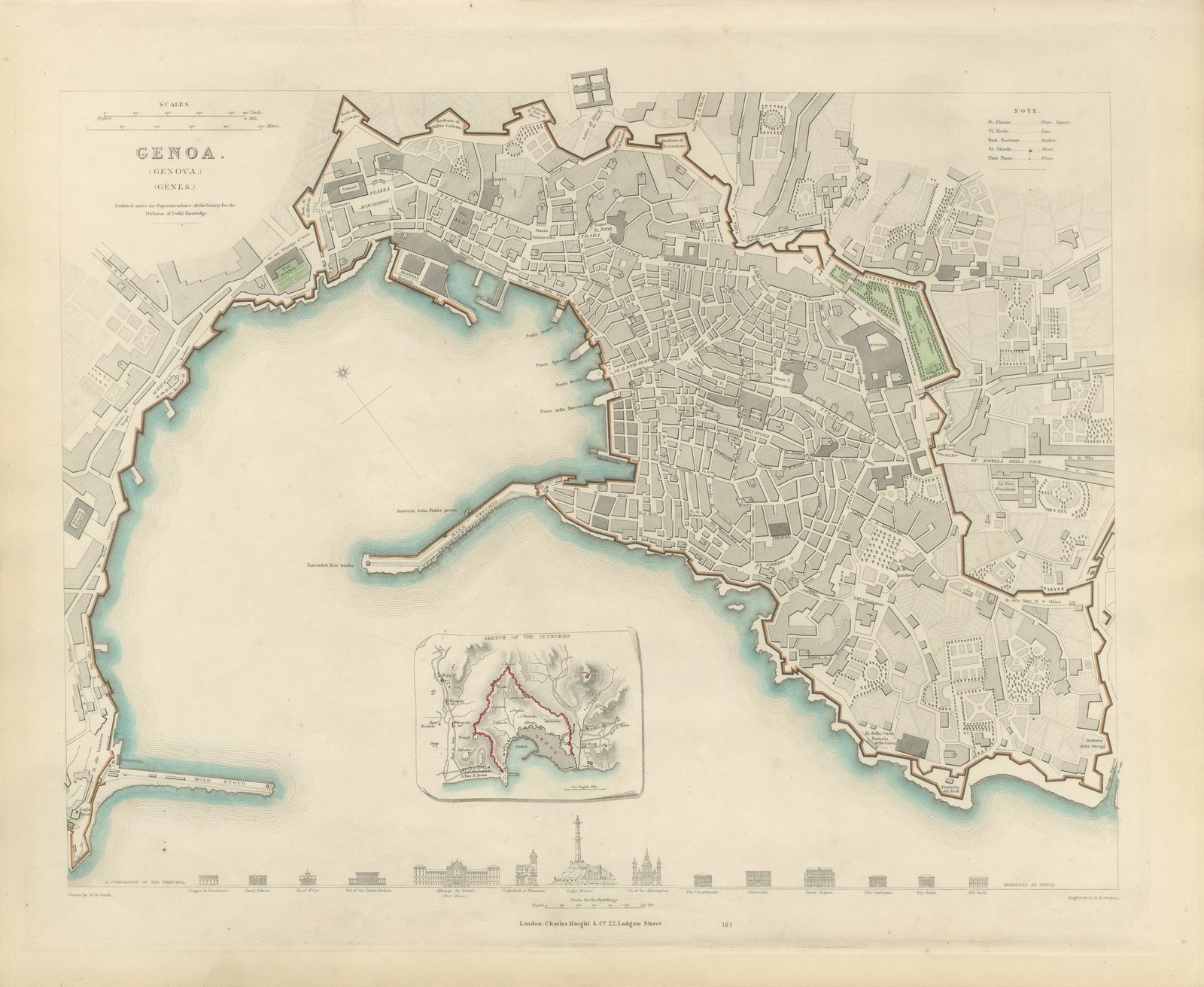
Antique Plan of Genoa with Outworks Inset and Palace Profiles, 1847
£570£40030% off
$525 · €476
Original print, not a reproduction
Ships worldwide from the Netherlands, flat or rolled, insured and tracked. 14-day returns.
- Date
- 1847
- Sheet size
- 13.8 × 16.9 in (35 × 43 cm)
- Technique
- Steel Engraving
- Coloring
- Original hand color
- Condition
- Good. Light uneven toning, browner toward the edges. Handling soiling along the bottom, left and right edges. Scattered light foxing in the margin. All four corners complete. Minor edge wear, shallow nicks along the top.
- Collection
- Castles & palaces
- Era
- 1790 to 1849, Neoclassical and Romantic
- Stock no.
- BG-14487-1-20
What the condition grades mean
- Excellent
- Bright and clean, with no faults worth mentioning.
- Very good
- Only light signs of age, such as faint toning.
- Good
- Normal signs of age for a sheet of this period: toning, some foxing, small marks or neat old repairs.
- Fair
- Clear faults such as staining, tears or repairs, priced to match.
Every fault we see is written in the condition note, and the whole sheet is shown uncropped in the photos.
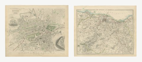
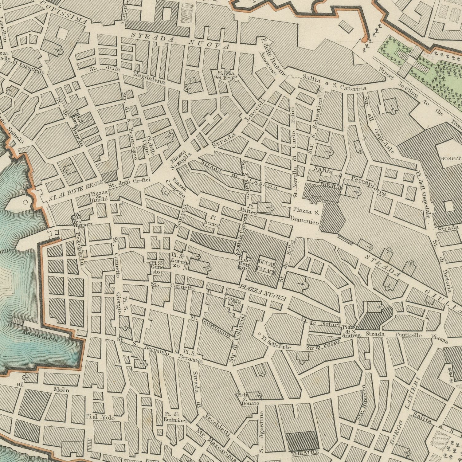
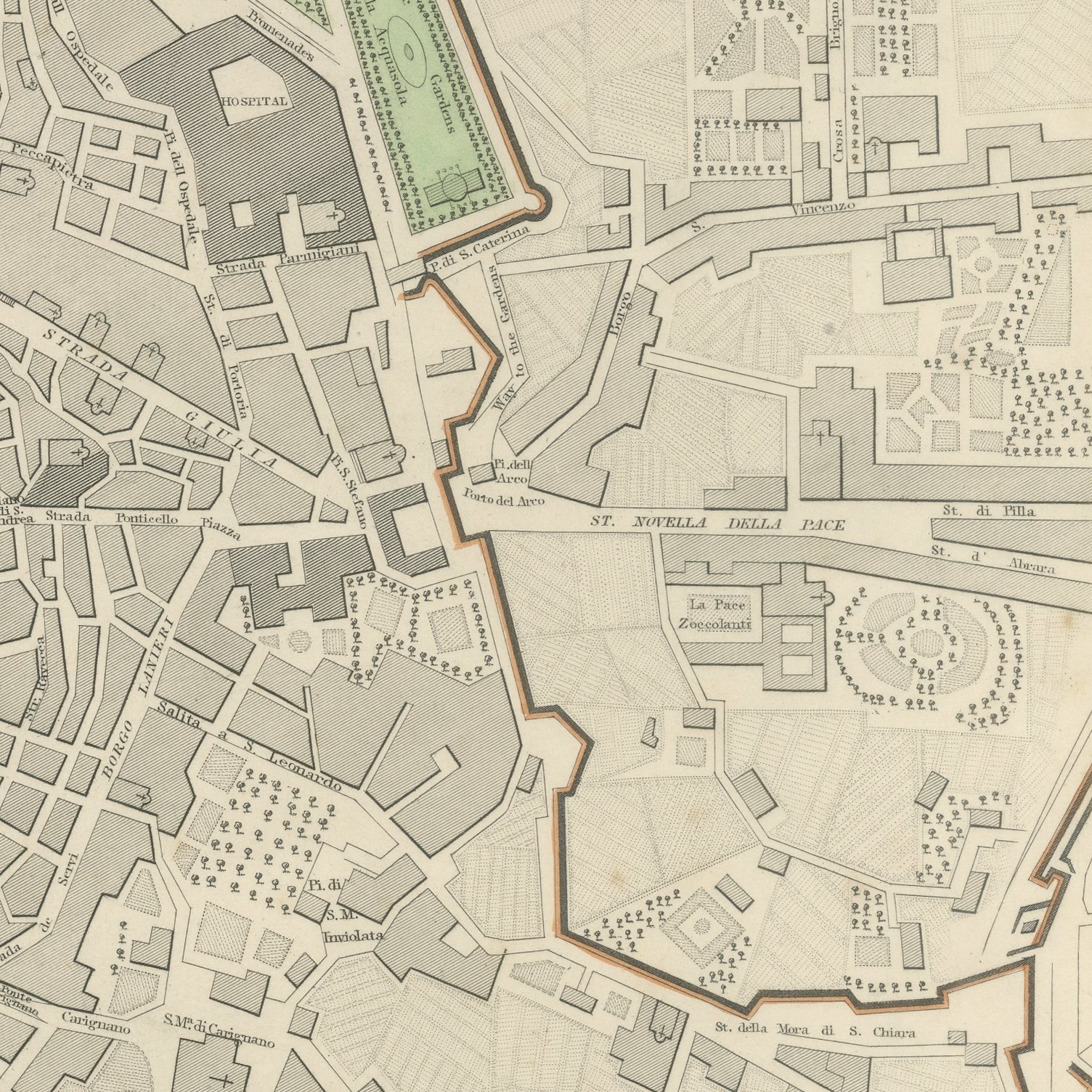
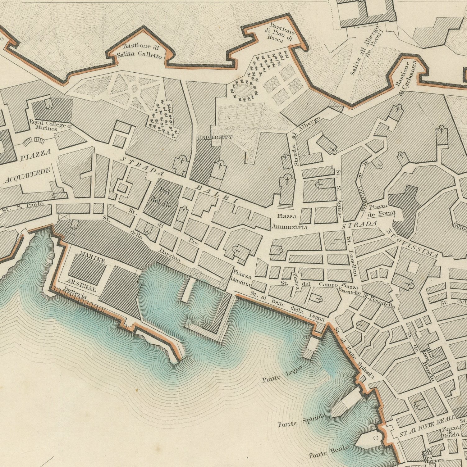
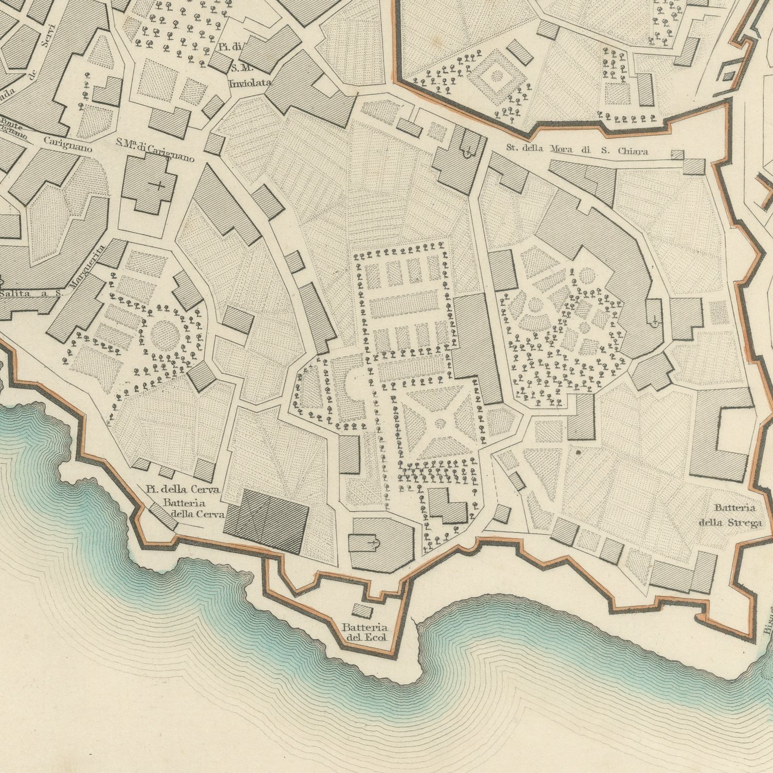
This is an original antique city plan of Genoa, steel engraved and published in the atlas of the Society for the Diffusion of Useful Knowledge. The plan shows the port curving round its mole, the dense old city climbing the slope behind it and the long circuit of walls running up the ridges. A sketch of the outworks is inset on the sheet and a band at the foot compares the principal buildings of Genoa in elevation, including the palaces of the Strada Nuova. The outline and water coloring is original hand color, applied by the publisher before the sheet was bound into the volume.
Plate number 181 of the third volume of the Society's atlas, published in London by Charles Knight and Company at 22 Ludgate Street in 1847 and lettered as a new edition corrected to the present time. The Society was founded in 1826 by Lord Brougham to put reliable knowledge within reach of ordinary readers, and its maps were the most accurate cheap maps then available in English. The plate is lettered as drawn by W. B. Clarke and engraved by B. R. Davies.
Genoa the Superb built its wealth on this harbor and this plan shows the working port at the moment it was becoming the chief outlet of the Kingdom of Sardinia. The great landward walls, drawn here in full, are the longest city fortifications in Europe and give the sheet a dramatic outline. Framed simply in dark wood or a plain gilt frame it suits a study, a hallway or a dining room, and it is a natural gift for anyone with a tie to the place.
Light uneven toning, browner toward the edges. Handling soiling along the bottom, left and right edges. Scattered light foxing in the margin. All four corners complete. Minor edge wear, shallow nicks along the top.
This is an original antique map, not a modern reproduction. This item is sold unframed.
Explore