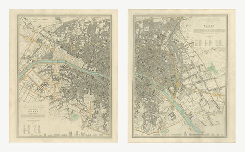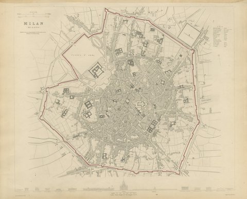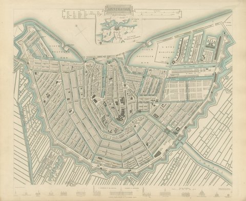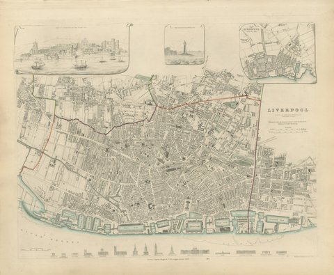
Close-ups
Framed and on the wall
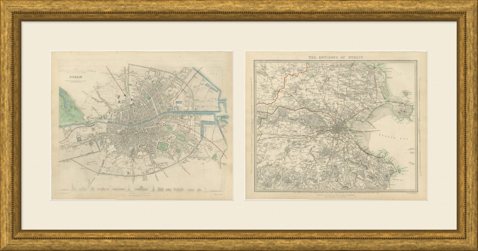
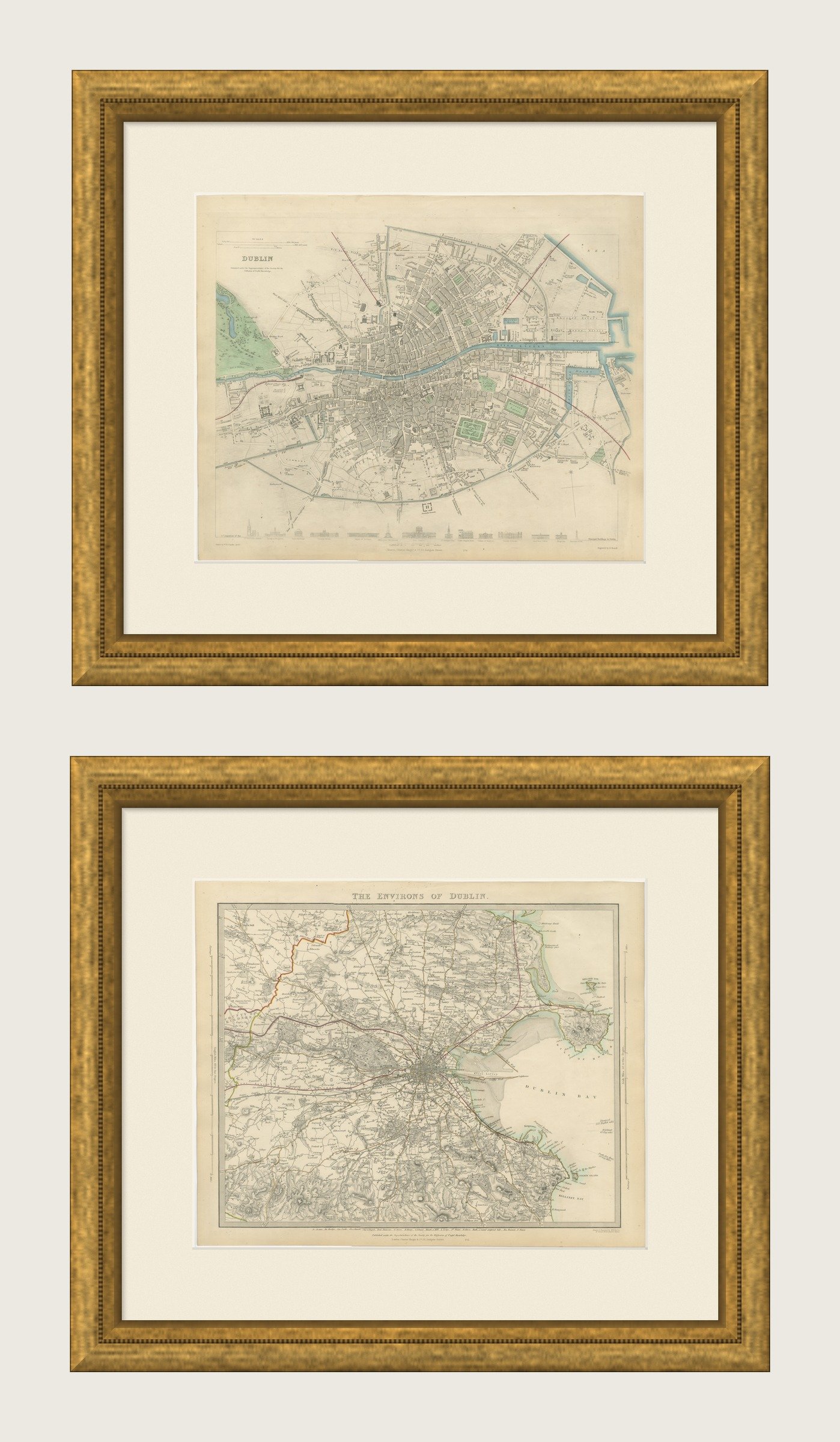
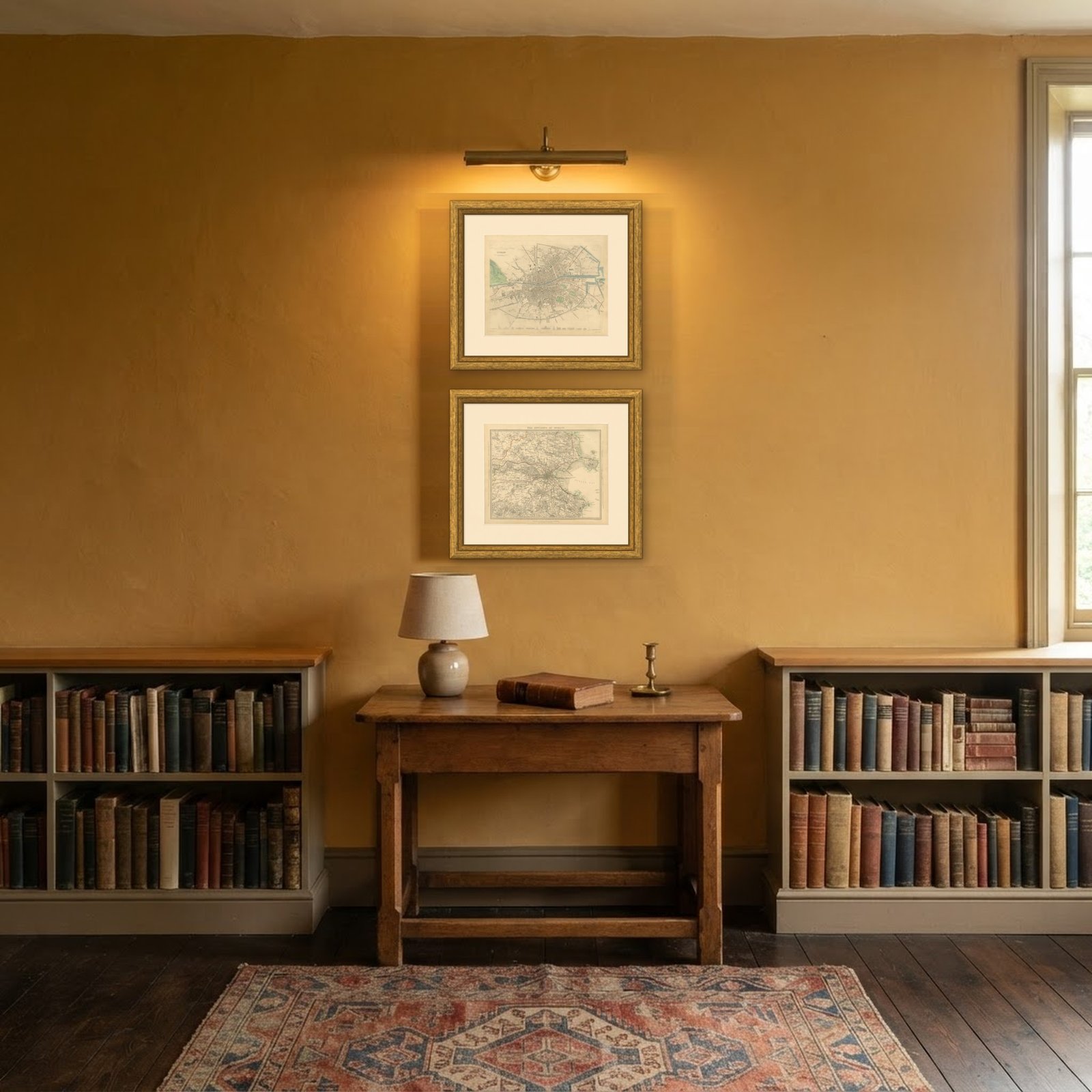
Frame and rooms are illustrations of how the print could look, drawn to its real size; it is sold unframed unless the description says otherwise.
Ornament & pattern
Antique Plan of Dublin and its Environs, Howth to Dalkey, 1847
€1,160
$1,275 · £970
Original print, not a reproduction
Ships worldwide from the Netherlands, flat or rolled, insured and tracked. 14-day returns.
- Date
- 1847
- Sheet size
- 13.8 × 16.9 in (35 × 43 cm)
- Technique
- Steel Engraving
- Coloring
- Original hand color
- Condition
- Good. Light uneven toning, browner toward the edges. Handling soiling along the edges of both sheets. Light foxing in the margins of one of the two sheets. Slight wear at the corners of one of the two sheets.
- Collection
- Ornament & pattern
- Era
- 1790 to 1849, Neoclassical and Romantic
- Stock no.
- BG-14487-1-13
What the condition grades mean
- Excellent
- Bright and clean, with no faults worth mentioning.
- Very good
- Only light signs of age, such as faint toning.
- Good
- Normal signs of age for a sheet of this period: toning, some foxing, small marks or neat old repairs.
- Fair
- Clear faults such as staining, tears or repairs, priced to match.
Every fault we see is written in the condition note, and the whole sheet is shown uncropped in the photos.
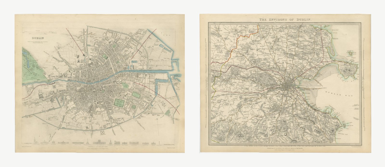
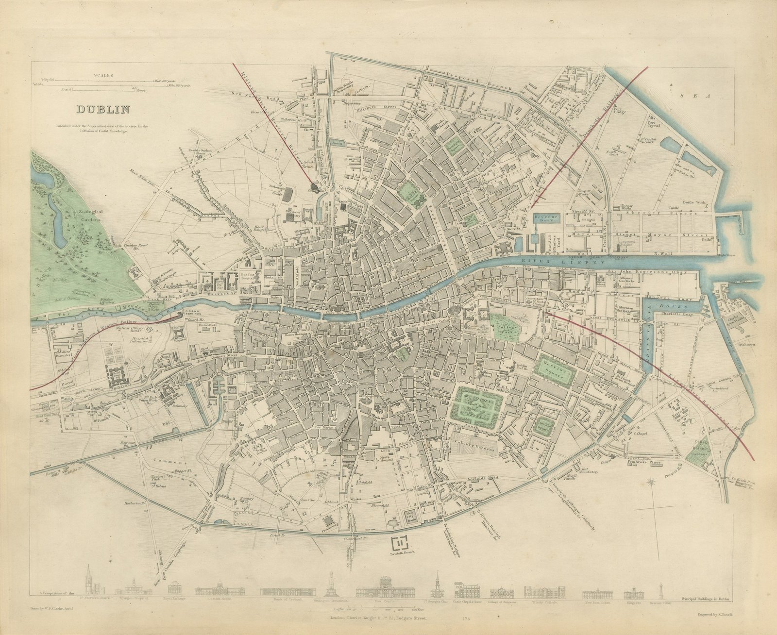
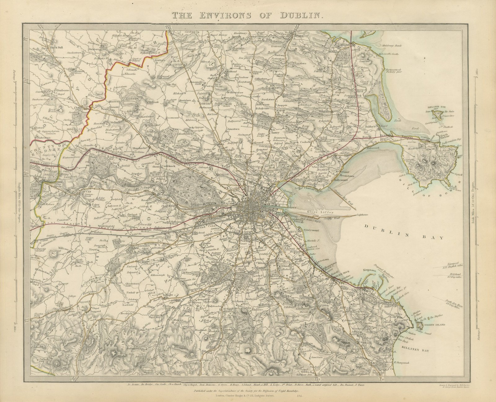
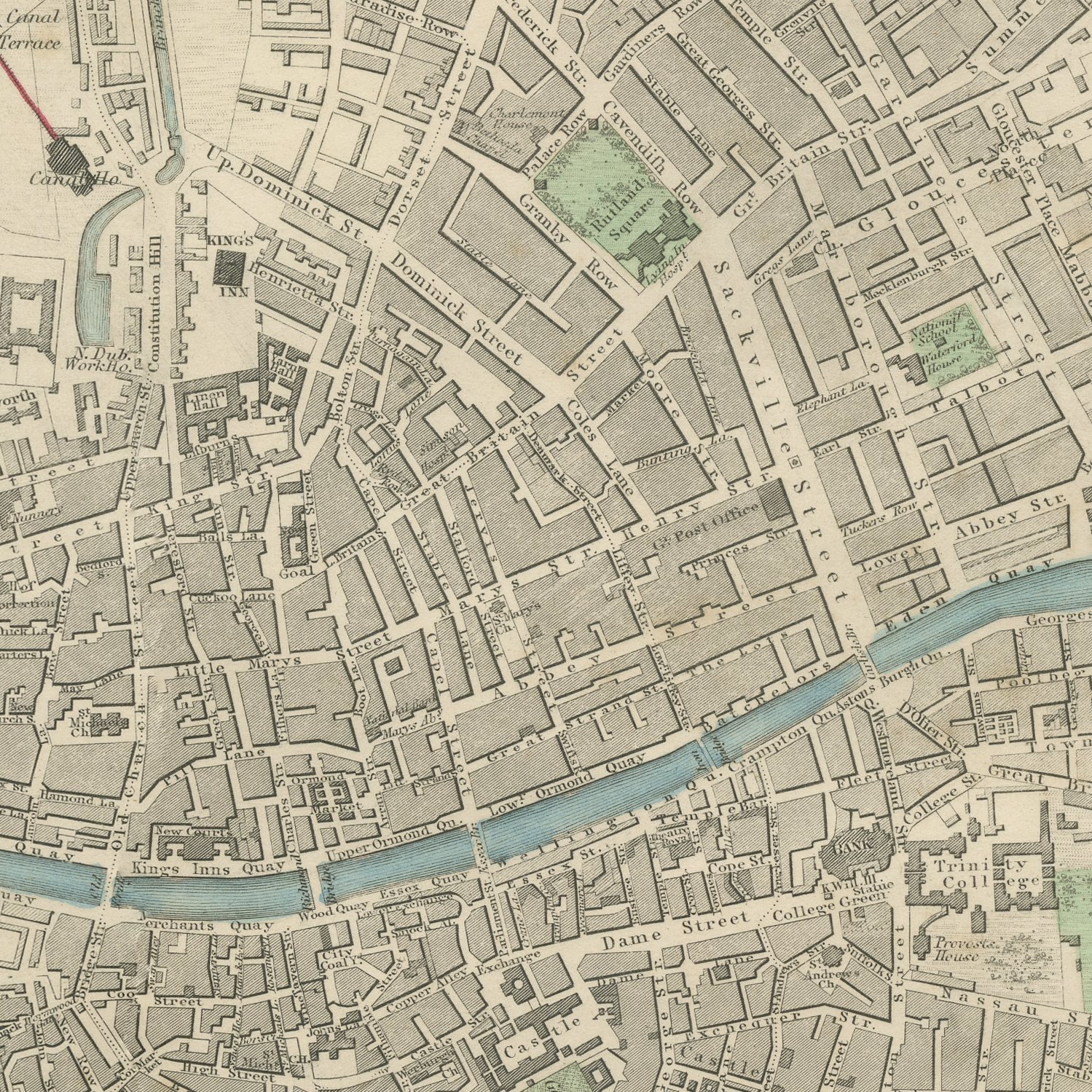
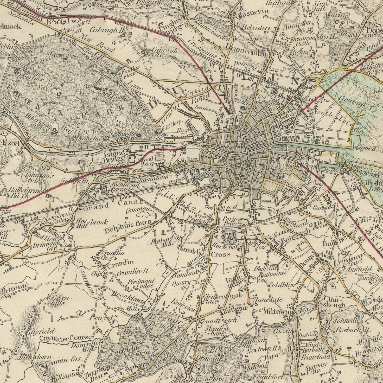
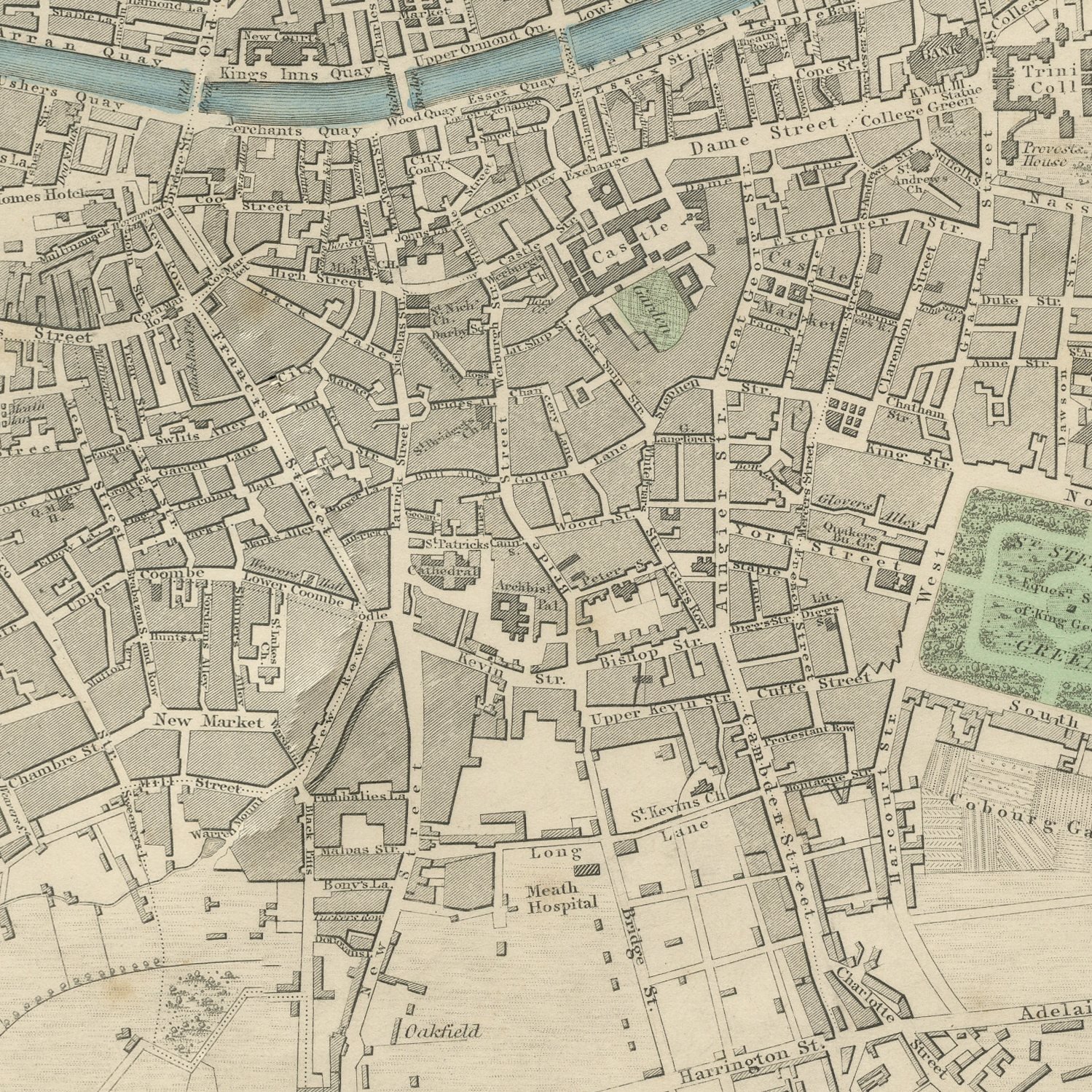
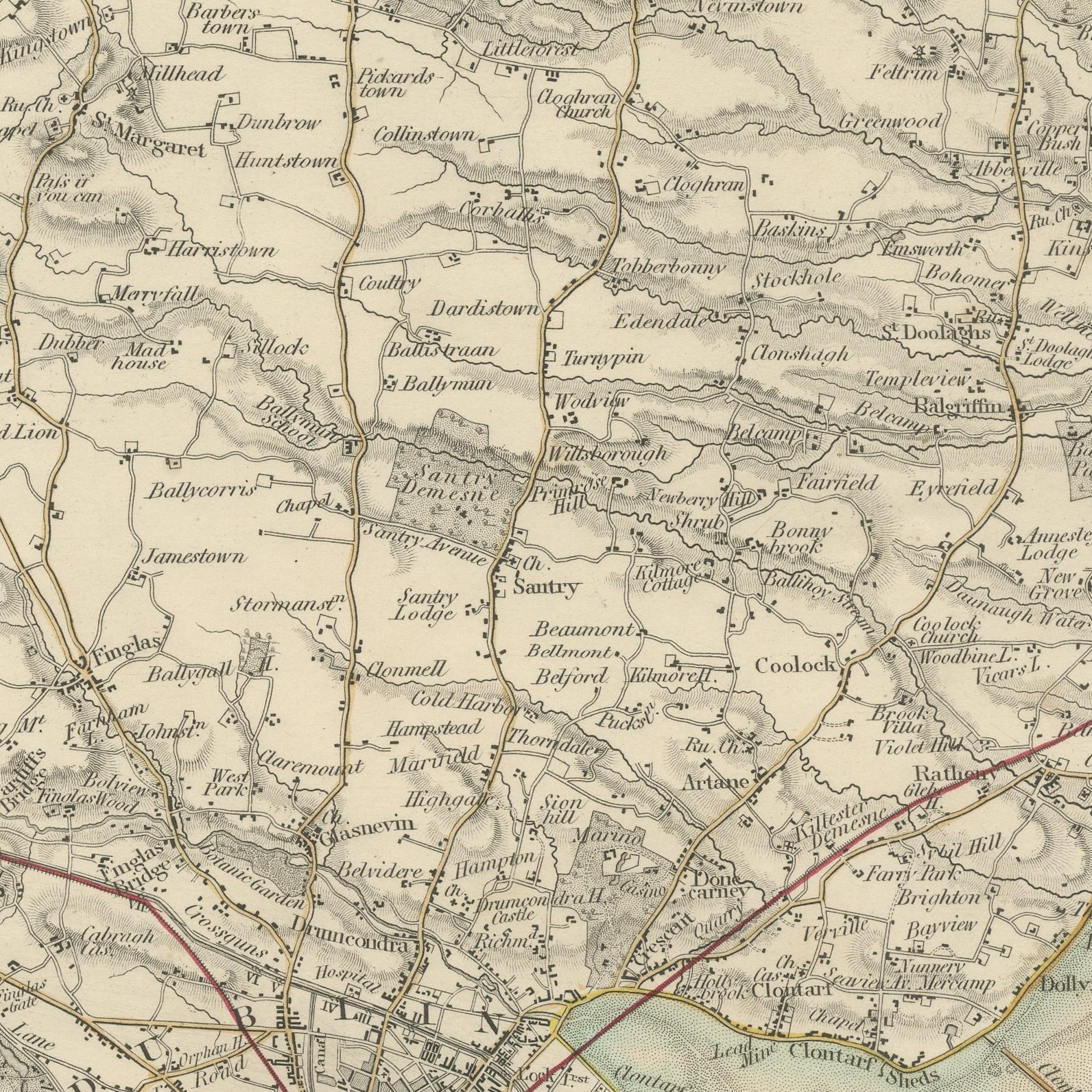
This is a set of two original sheets sold together, two antique maps steel engraved and published in the atlas of the Society for the Diffusion of Useful Knowledge. The first sheet is the city plan, with the Liffey running through it, the Phoenix Park to the west, Trinity College, the Custom House and the Four Courts marked, the canals closing the town north and south, and a band of building elevations along the foot. The second sheet pulls back to the whole of Dublin Bay, taking in Howth and its harbor on the north arm, Kingstown and Dalkey Island on the south, and running inland past Lucan and the Dublin mountains with the early railway lines drawn in.
The sheets are plates 174 and 175 of the third volume of the Society's atlas, Plans of Cities, Stars and Index to Places, published in London by Charles Knight at 22 Ludgate Street in 1847 and lettered as a new edition corrected to the present time. The sheets are lettered as drawn and engraved by B. R. Davies and drawn by W. B. Clarke and engraved by E. Turrell. The outline and water coloring is original hand color, applied by the publisher before the sheets were bound into the volume.
The city plan tells you where a street is and the environs map tells you how people got out of town on a Sunday, and together they give the whole of nineteenth century Dublin. Kingstown is now Dun Laoghaire and the villages along the bay have long since joined the city, which makes the second sheet the more surprising of the two. Hung as a pair in matching frames they are a natural gift for anyone with Dublin connections.
Light uneven toning, browner toward the edges. Handling soiling along the edges of both sheets. Light foxing in the margins of one of the two sheets. Slight wear at the corners of one of the two sheets.
These are original antique maps, not modern reproductions. This item is sold unframed.
Explore