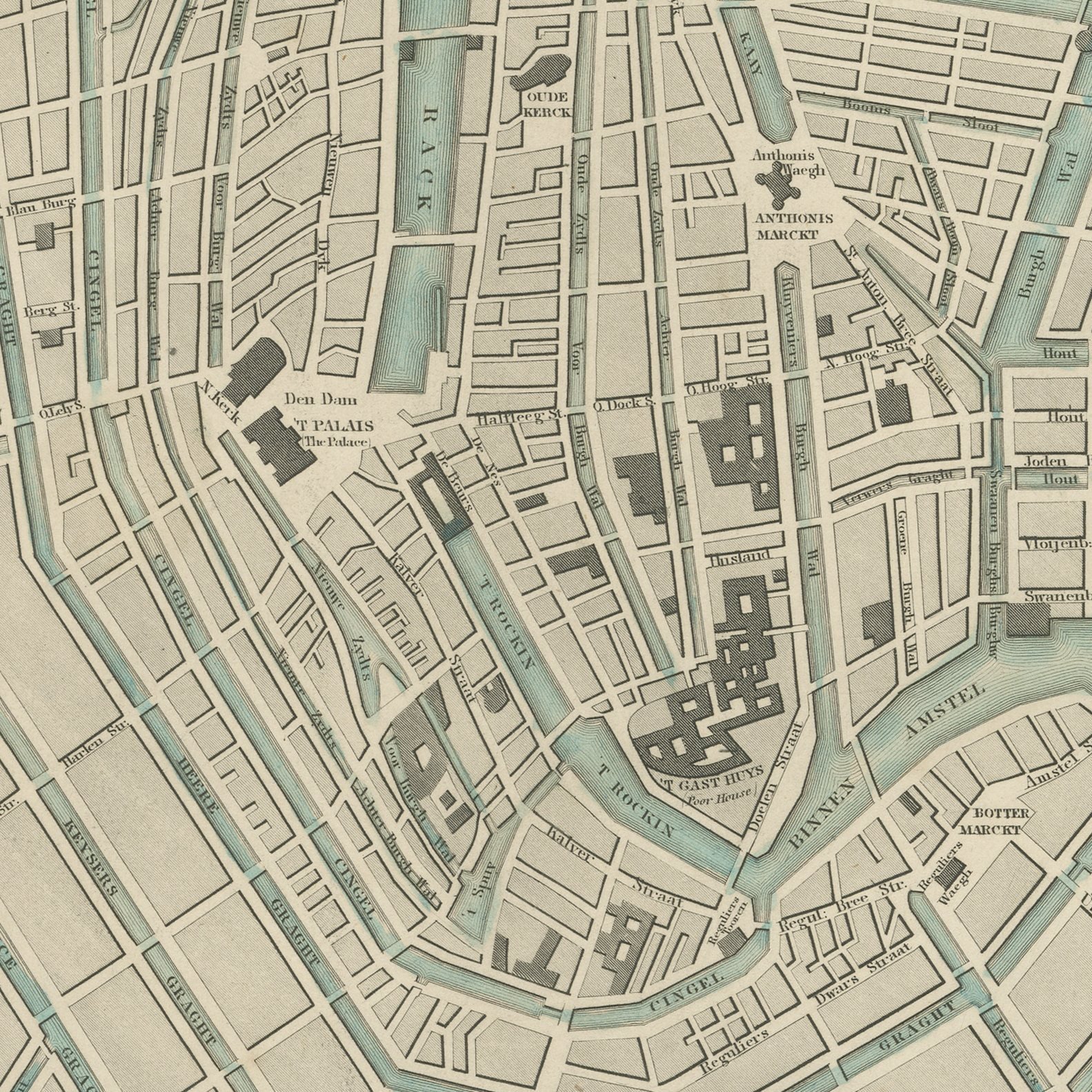
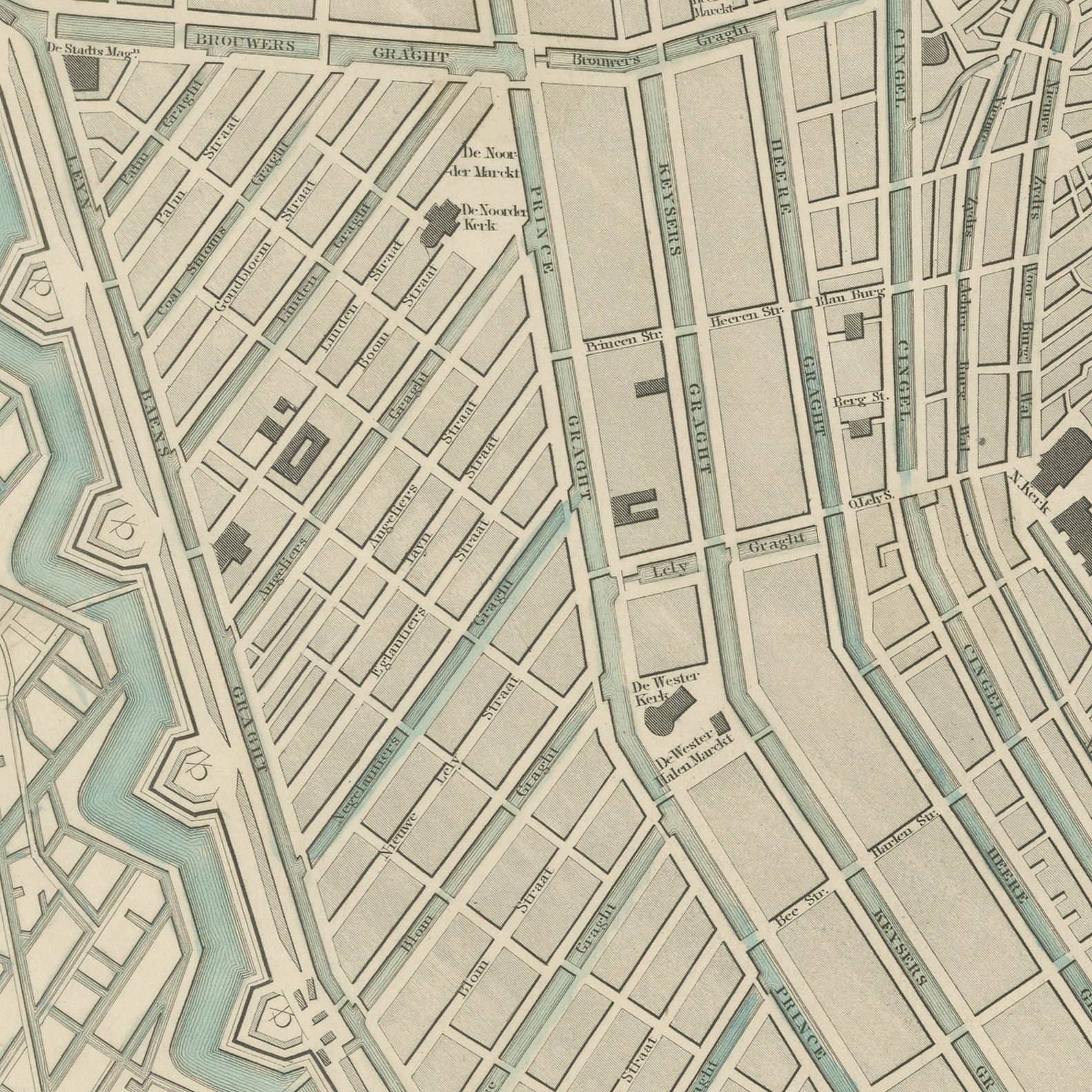
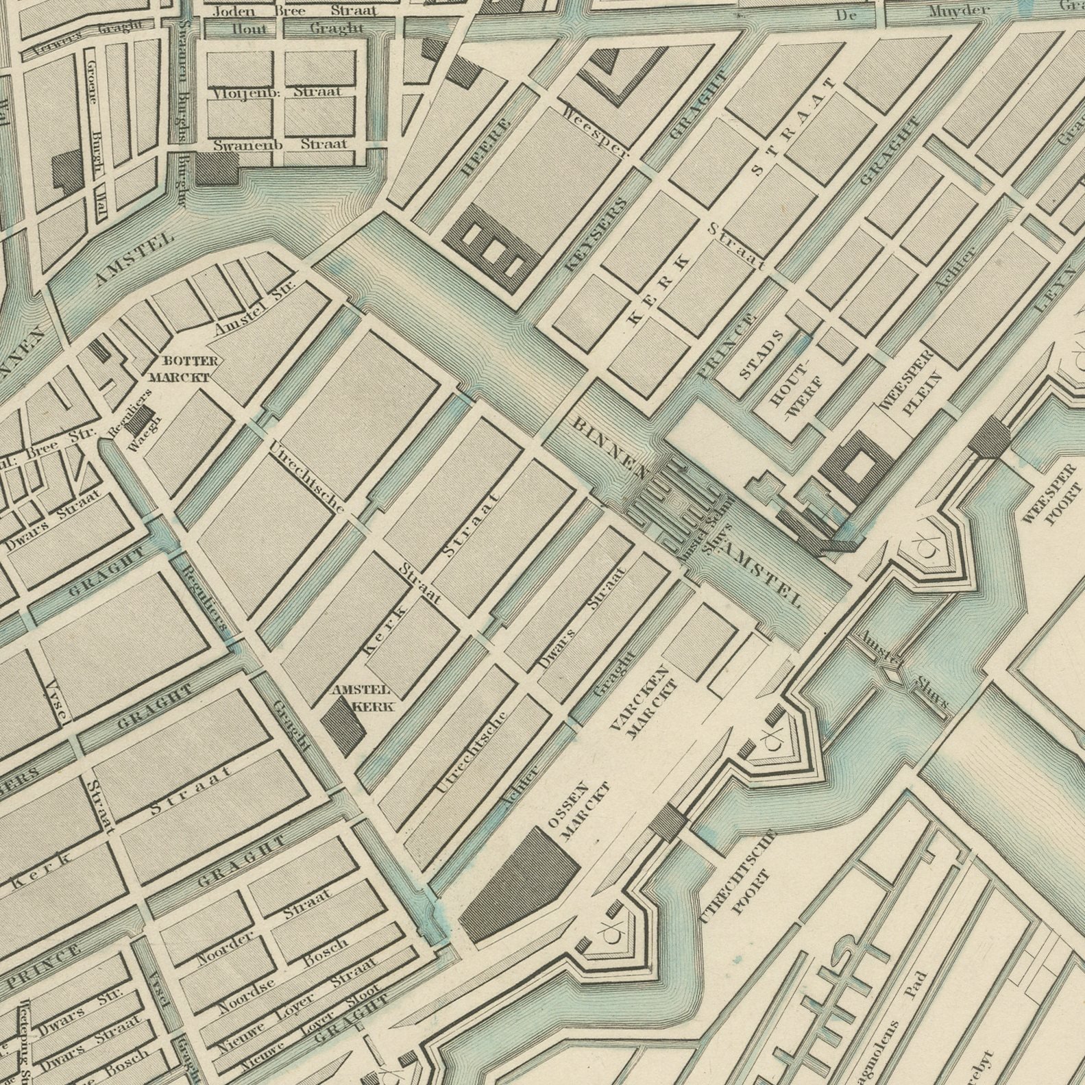
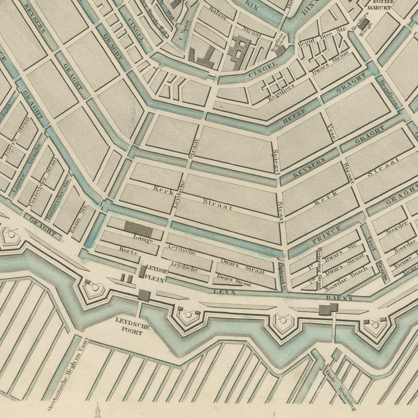
Close-ups
Framed and on the wall
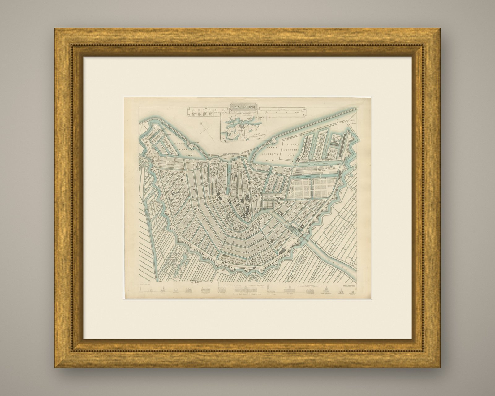
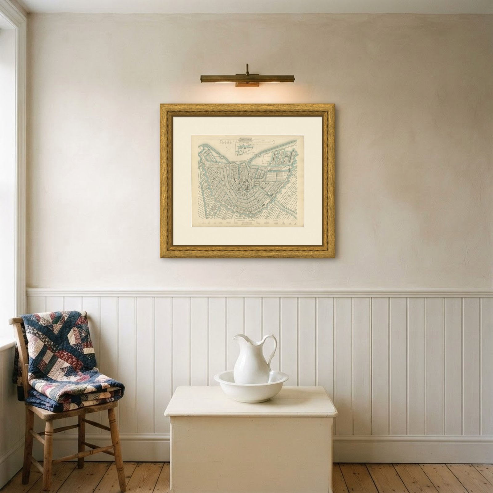
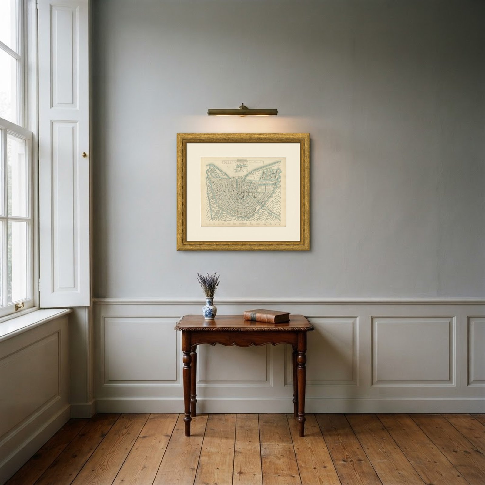
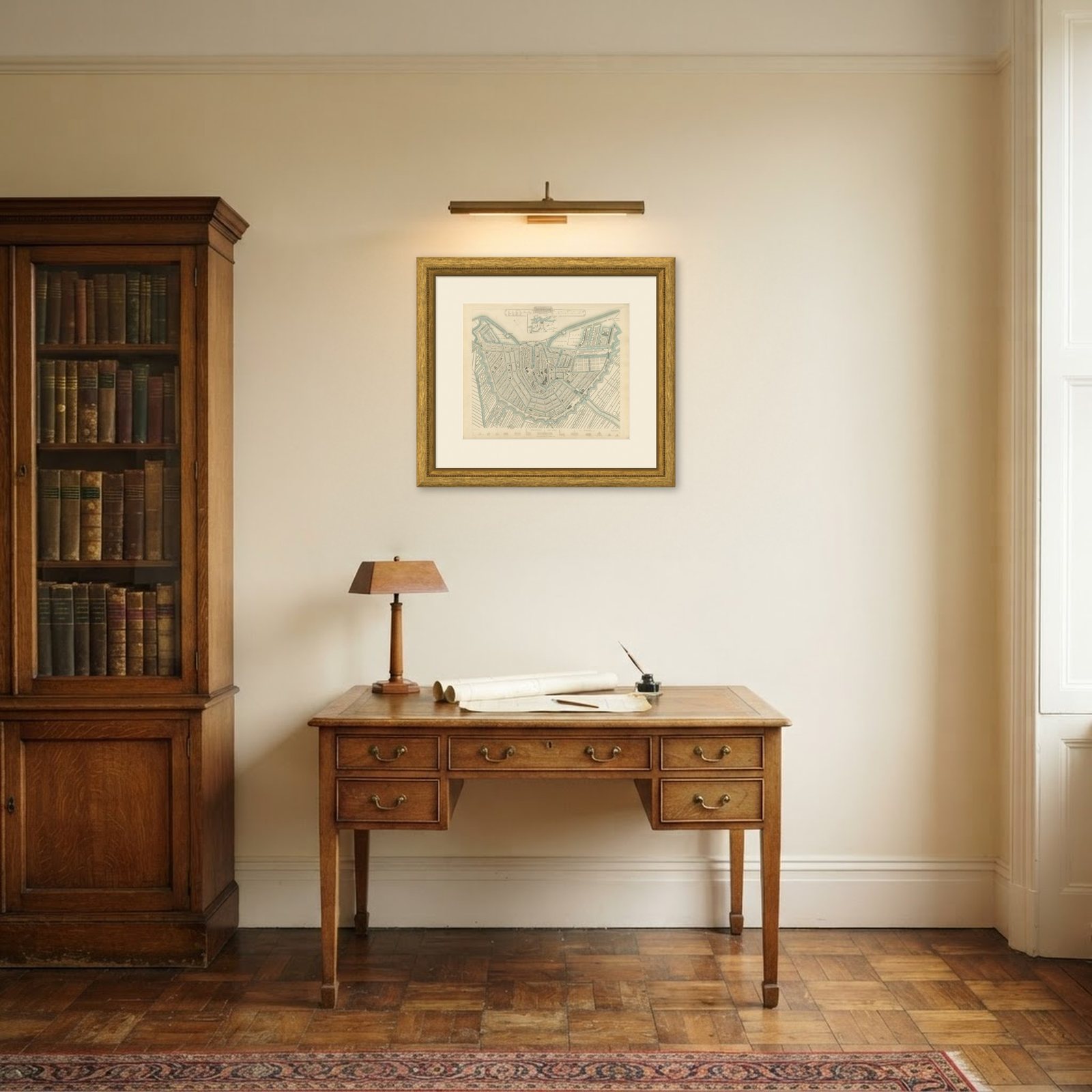
Frame and rooms are illustrations of how the print could look, drawn to its real size; it is sold unframed unless the description says otherwise.
Ornament & pattern
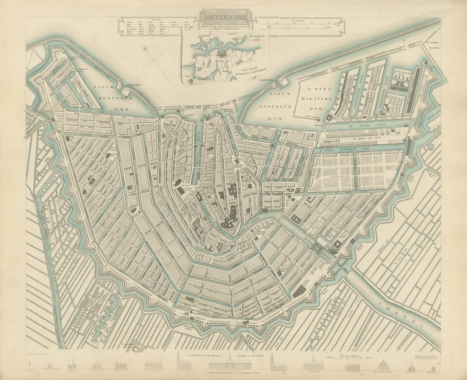
Antique Plan of Amsterdam with Environs Inset, Canal Ring, 1847
£655£45530% off
$600 · €546
Original print, not a reproduction
Ships worldwide from the Netherlands, flat or rolled, insured and tracked. 14-day returns.
- Date
- 1847
- Sheet size
- 13.8 × 16.9 in (35 × 43 cm)
- Technique
- Steel Engraving
- Coloring
- Original hand color
- Condition
- Good. Light uneven toning, browner toward the edges. Marked handling soiling along the bottom and left edges. A few small foxing spots in the margin. All four corners complete.
- Collection
- Ornament & pattern
- Era
- 1790 to 1849, Neoclassical and Romantic
- Stock no.
- BG-14487-1-1
What the condition grades mean
- Excellent
- Bright and clean, with no faults worth mentioning.
- Very good
- Only light signs of age, such as faint toning.
- Good
- Normal signs of age for a sheet of this period: toning, some foxing, small marks or neat old repairs.
- Fair
- Clear faults such as staining, tears or repairs, priced to match.
Every fault we see is written in the condition note, and the whole sheet is shown uncropped in the photos.
This is an original antique city plan of Amsterdam, steel engraved and published in the atlas of the Society for the Diffusion of Useful Knowledge. The sheet shows the full horseshoe of the canal ring, with the Singel, Heerengracht, Keizersgracht and Prinsengracht drawn street by street, the Amstel running in from the south and the harbor front open to the IJ. An inset at the upper left gives the Plan of the Environs of Amsterdam, and a band along the foot compares the principal buildings of the city in elevation, among them the Royal Palace on the Dam, the Nieuwe Kerk and the Exchange. The outline and water coloring is original hand color, applied by the publisher before the sheet was bound into the volume.
It carries plate number 162 and belongs to the third volume of the Society for the Diffusion of Useful Knowledge atlas, the volume given over to plans of cities, the stars and the index to places, published by Charles Knight of 22 Ludgate Street in London in 1847. Knight took over the Society's map series and reissued it corrected, so the plates carry a range of dates within one set. The plate is lettered as drawn by W. B. Clarke and engraved by B. R. Davies.
Few maps catch Amsterdam at this moment so clearly: the medieval core and the seventeenth century canal belt are complete, while the nineteenth century expansion beyond the Singelgracht has barely begun. The hand colored water reads beautifully against the engraved street grid, and the building elevations give the sheet a decorative band that framers like. Framed simply in dark wood or a plain gilt frame it suits a study, a hallway or a dining room, and it is a natural gift for anyone with a tie to the place.
Light uneven toning, browner toward the edges. Marked handling soiling along the bottom and left edges. A few small foxing spots in the margin. All four corners complete.
This is an original antique map, not a modern reproduction. This item is sold unframed.
Explore